Buell's Lane Historic District, East Hampton
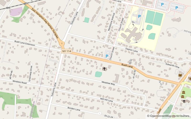
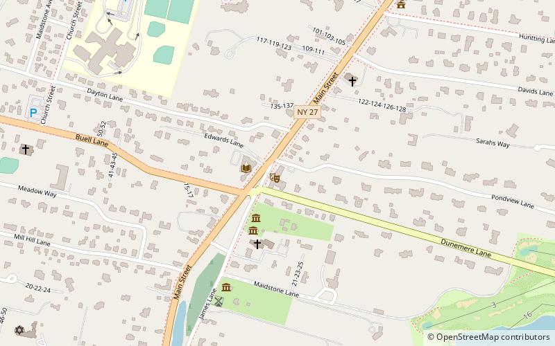
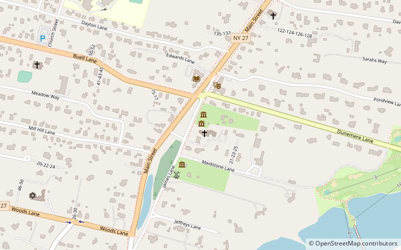
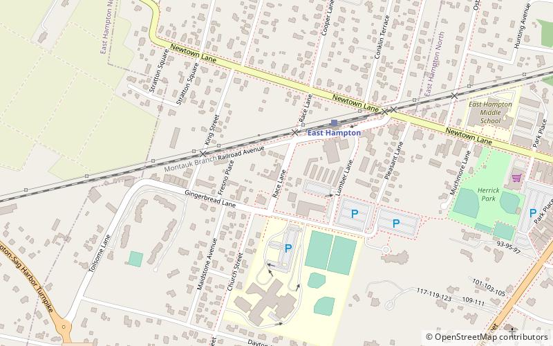
Map

Map

Facts and practical information
Buell's Lane Historic District is a national historic district located at East Hampton, New York in Suffolk County, New York. The district includes 25 contributing buildings; 20 principal buildings and five outbuildings. The district is almost exclusively residential and represent variations of late Victorian period vernacular design built between 1884 and about 1910. Also included in the district is Most Holy Trinity Church, built in 1894, and a two-story wagon shop built in 1896. ()
Coordinates: 40°57'33"N, 72°11'56"W
Address
The Hamptons (East Hampton)East Hampton
ContactAdd
Social media
Add
Day trips
Buell's Lane Historic District – popular in the area (distance from the attraction)
Nearby attractions include: Guild Hall, John Lyon Gardiner Mill Cottage, Hook Windmill, Mulford Farmhouse.
Frequently Asked Questions (FAQ)
Which popular attractions are close to Buell's Lane Historic District?
Nearby attractions include Jewish Center of the Hamptons, East Hampton (9 min walk), Pritam & Eames, East Hampton (10 min walk), East Hampton Library, East Hampton (11 min walk), Mulford Farmhouse, East Hampton (12 min walk).


