Camp Curtin, Harrisburg

Map
Facts and practical information
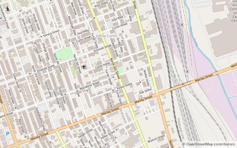
Camp Curtin is a historic neighborhood in Harrisburg, Pennsylvania's northern end, located in Uptown and named for the American Civil War camp of the same name. It is bordered currently by landmarks of Fifth Street to the west, the railroad tracks next to the Pennsylvania Farm Show Complex to the east, Maclay Street to the south, and Reels Lane to the North. ()
Coordinates: 40°16'56"N, 76°53'28"W
Address
UptownHarrisburg
ContactAdd
Social media
Add
Day trips
Camp Curtin – popular in the area (distance from the attraction)
Nearby attractions include: Pennsylvania Farm Show, State Museum of Pennsylvania, Broad Street Market, Pennsylvania National Fire Museum.
Frequently Asked Questions (FAQ)
Which popular attractions are close to Camp Curtin?
Nearby attractions include Wesley Union African Methodist Episcopal Zion Church, Harrisburg (4 min walk), Pennsylvania National Fire Museum, Harrisburg (11 min walk), Uptown Harrisburg, Harrisburg (11 min walk), Kesher Israel Congregation, Harrisburg (13 min walk).
How to get to Camp Curtin by public transport?
The nearest stations to Camp Curtin:
Bus
Bus
- HACC Harrisburg Campus • Lines: 15N, 83N (23 min walk)


