Memorial Drive, East St. Louis

Map
Facts and practical information
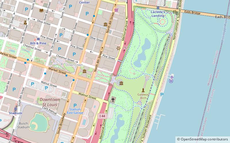
Memorial Drive runs north-south in Downtown St. Louis, Missouri. It is between the city's central business district and the grounds of the Gateway Arch and Gateway Arch National Park. It has an intimate relationship with Interstate 44; for most of its length it runs above the sunken highway, but north of Washington Avenue it goes under it as the highway ramps up above the city. ()
Coordinates: 38°37'33"N, 90°11'14"W
Address
Downtown St. LouisEast St. Louis
ContactAdd
Social media
Add
Day trips
Memorial Drive – popular in the area (distance from the attraction)
Nearby attractions include: Gateway Arch, Museum of Westward Expansion, Soulard Farmers Market, Old Courthouse.
Frequently Asked Questions (FAQ)
Which popular attractions are close to Memorial Drive?
Nearby attractions include Mississippi Valley Trust Company Building, East St. Louis (3 min walk), Old Cathedral, St. Louis (3 min walk), Old Courthouse, St. Louis (4 min walk), Museum of Westward Expansion, St. Louis (4 min walk).


