Hewitt Avenue Trestle, Everett
Map
Map

Facts and practical information
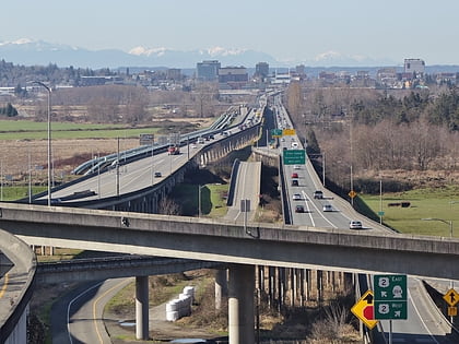
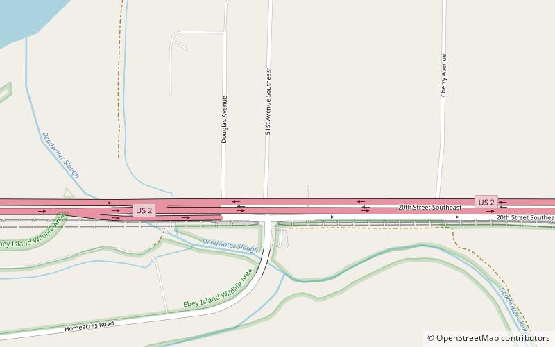
The Hewitt Avenue Trestle is a causeway carrying U.S. Route 2 from Everett to Lake Stevens. It crosses the Snohomish River, Ebey Island, and the Ebey Slough. The western end of the trestle is an interchange with Interstate 5, while the eastern end is an interchange with State Route 204 and 20th Street. ()
Coordinates: 47°58'44"N, 122°9'43"W
Address
Everett
ContactAdd
Social media
Add
Day trips
Hewitt Avenue Trestle – popular in the area (distance from the attraction)
Nearby attractions include: Snohomish County Centennial Trail, Xfinity Arena, Everett Mall, Marysville Opera House.
Frequently Asked Questions (FAQ)
How to get to Hewitt Avenue Trestle by public transport?
The nearest stations to Hewitt Avenue Trestle:
Bus
Bus
- HARRISON AVE and 26TH ST • Lines: 5 (25 min walk)
- EVERETT AVE and HIGHLAND AVE • Lines: 5 (29 min walk)
