Cold Spring Historic District, Cold Spring
Map

Map

Facts and practical information
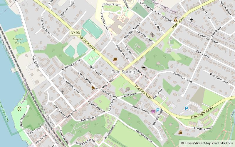
The Cold Spring Historic District is a historic district that includes much of the central area of the Hudson River Cold Spring village in Putnam County, New York. It is roughly bounded by Main Street, Cedar and Fair streets and Paulding Avenue. ()
Coordinates: 41°25'12"N, 73°57'18"W
Address
Cold Spring
ContactAdd
Social media
Add
Day trips
Cold Spring Historic District – popular in the area (distance from the attraction)
Nearby attractions include: West Point Foundry, Boscobel Mansion, First Baptist Church of Cold Spring, Cold Spring Cemetery Gatehouse.
Frequently Asked Questions (FAQ)
Which popular attractions are close to Cold Spring Historic District?
Nearby attractions include St Mary's Episcopal Church, Cold Spring (1 min walk), Butterfield Library, Cold Spring (2 min walk), First Presbyterian Church of Philipstown: The Church of the Open Door, Cold Spring (3 min walk), Cold Spring Tots Park, Cold Spring (3 min walk).
How to get to Cold Spring Historic District by public transport?
The nearest stations to Cold Spring Historic District:
Train
Train
- Cold Spring (10 min walk)


