Le Cordon Bleu College of Culinary Arts in Chicago, Chicago
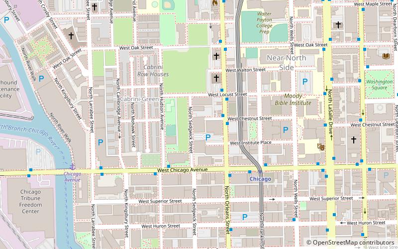
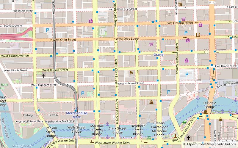
Map
Facts and practical information
Le Cordon Bleu College of Culinary Arts in Chicago was founded in 1983, and closed in September 2017. The school was accredited by the Higher Learning Commission and was located in Chicago, Illinois. The school offered an Associate of Occupational Studies degree and Certificate Program in Le Cordon Bleu Culinary Arts and an Associate of Occupational Studies degree in Le Cordon Bleu Pâtisserie and Baking. ()
Coordinates: 41°53'53"N, 87°38'18"W
Getting there by public transportation
Public transportation stops near this location
- Metro
- Bus
- Train
 Metro
Metro
- Calculate routeOrleans & Chestnut 2 min walk
- Calculate routeChicago & Hudson WB 3 min walk
- Calculate routeChicago 14 min walk
- Calculate routeOgilvie Transportation Center 26 min walk
- Calculate routeMillennium Station 31 min walk
Maps Rail "L"
Rail "L"Day trips
Le Cordon Bleu College of Culinary Arts in Chicago – popular in the area (distance from the attraction)
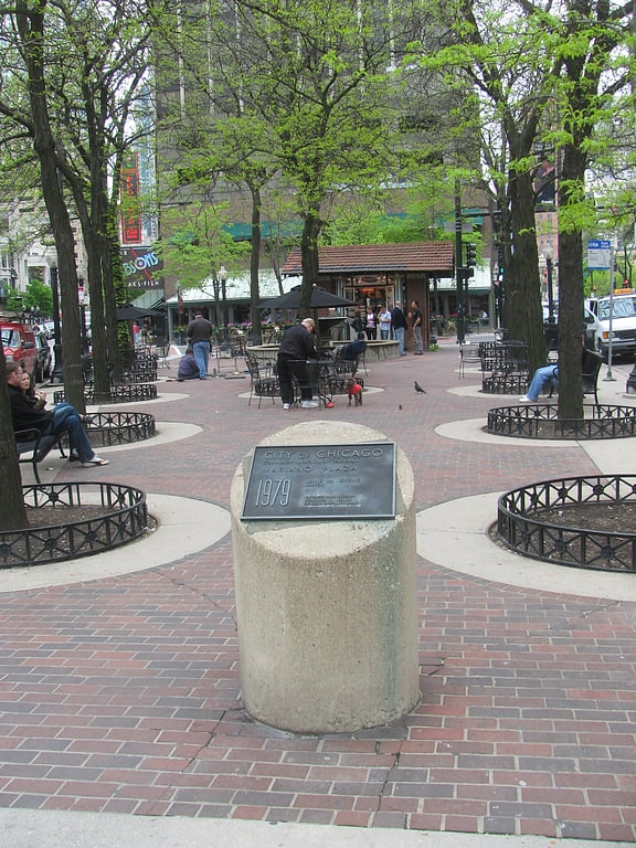
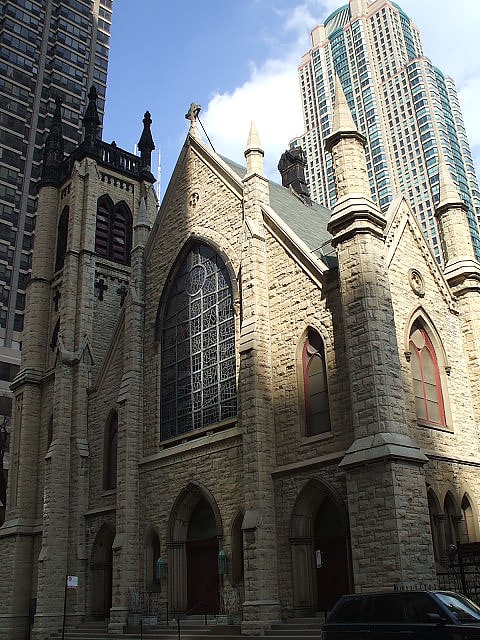
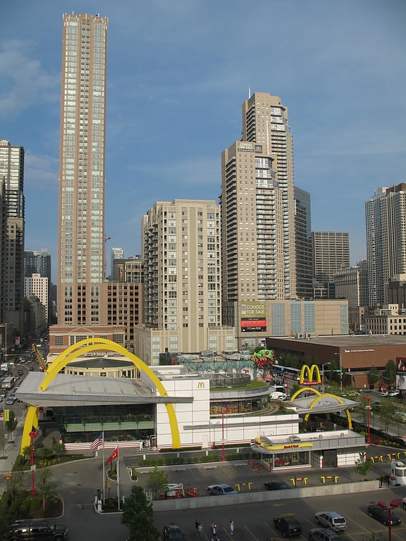
Nearby attractions include: Oak Street, First Saint Paul's Evangelical Lutheran Church, Holy Name Cathedral, Mariano Park.
Frequently Asked Questions (FAQ)
Which popular attractions are close to Le Cordon Bleu College of Culinary Arts in Chicago?
Nearby attractions include Cabrini–Green, Chicago (4 min walk), River North Gallery District, Chicago (5 min walk), The Montgomery, Chicago (7 min walk), Clark Street, Chicago (10 min walk).
How to get to Le Cordon Bleu College of Culinary Arts in Chicago by public transport?
The nearest stations to Le Cordon Bleu College of Culinary Arts in Chicago:
Bus
Metro
Train
Bus
- Orleans & Chestnut • Lines: 37 (2 min walk)
- Chicago & Hudson WB • Lines: 66, (N) N66 (3 min walk)
Metro
- Chicago • Lines: Brown, Purple, Red (14 min walk)
Train
- Ogilvie Transportation Center (26 min walk)
- Millennium Station (31 min walk)