Pat Nixon Park, Cerritos
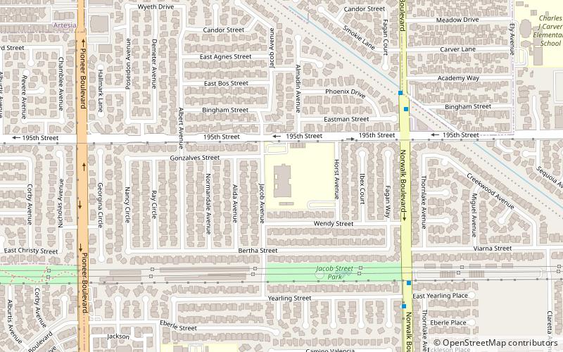
Map
Facts and practical information
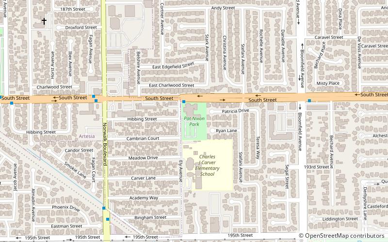
Pat Nixon Park is a neighborhood park in Cerritos, California, named for the late First Lady Pat Nixon. The 4-acre park occupies the site of the former First Lady's childhood home and truck farm, where she lived from 1914 until 1931, a Senior Center that now sits on the site of the home after it was destroyed by a fire in 1978, and the Patricia Nixon Elementary School. ()
Elevation: 46 ft a.s.l.Coordinates: 33°51'28"N, 118°4'6"W
Address
Southeast Los Angeles (Cerritos)Cerritos
ContactAdd
Social media
Add
Day trips


Frequently Asked Questions (FAQ)
Which popular attractions are close to Pat Nixon Park?
Nearby attractions include ABC Unified School District, Long Beach (15 min walk), Cerritos Veterans Memorial, Cerritos (16 min walk), Cerritos Library, Cerritos (18 min walk), Cerritos Center for the Performing Arts, Cerritos (20 min walk).