Dothan–Enterprise–Ozark Combined Statistical Area, Dothan

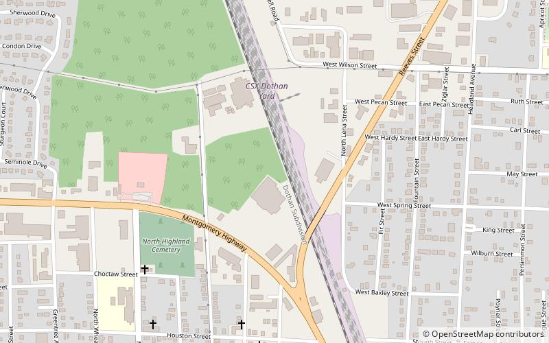
Map
Facts and practical information
The Dothan–Enterprise–Ozark Combined Statistical Area was a CSA made up of five counties in the southeastern corner of the U.S. state of Alabama. The once statistical area includes one metropolitan area and originally one micropolitan area which then was split off as two. As of the 2010 census, the CSA had a population of 245,838. Currently an updated area called the Dothan-Ozark Combined Statistical area is used instead and Enterprise micropolitan area is now split as its own statistical area. ()
Coordinates: 31°14'23"N, 85°23'52"W
Address
Dothan
ContactAdd
Social media
Add
Day trips
Dothan–Enterprise–Ozark Combined Statistical Area – popular in the area (distance from the attraction)
Nearby attractions include: Wiregrass Museum of Art, Dothan Opera House, Dothan Civic Center, Main Street Commercial District.
Frequently Asked Questions (FAQ)
How to get to Dothan–Enterprise–Ozark Combined Statistical Area by public transport?
The nearest stations to Dothan–Enterprise–Ozark Combined Statistical Area:
Train
Train
- Csx (6 min walk)


