State Library of Ohio, Columbus
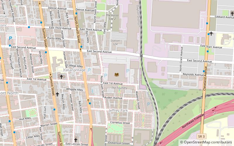
Map
Facts and practical information
The State Library of Ohio is a state agency that provides services to state government and all types of libraries to ensure that all Ohio residents, rich or poor, rural or urban, receive the best possible library service and are able to engage in lifelong learning which strengthens the economic health of Ohio. ()
Coordinates: 39°58'52"N, 82°59'46"W
Address
274 East First AvenueItalian VillageColumbus
Contact
+1 614-644-7061
Social media
Add
Day trips
State Library of Ohio – popular in the area (distance from the attraction)
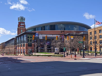
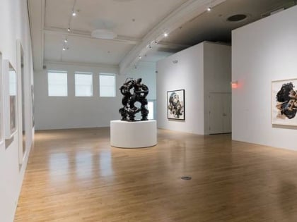
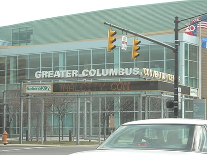
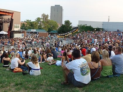
Nearby attractions include: North Market, Nationwide Arena, Pizzuti Collection, Goodale Park.
Frequently Asked Questions (FAQ)
Which popular attractions are close to State Library of Ohio?
Nearby attractions include Berry Brothers Bolt Works, Columbus (2 min walk), Old North End Historic District, Columbus (8 min walk), The Short North, Columbus (12 min walk), Studios on High Gallery, Columbus (13 min walk).
How to get to State Library of Ohio by public transport?
The nearest stations to State Library of Ohio:
Bus
Bus
- N 4th St & E 2nd Ave • Lines: 4 (5 min walk)
- Summit St & E 2nd Ave • Lines: 4 (8 min walk)

