Tanner's Alley, Harrisburg
Map
Facts and practical information
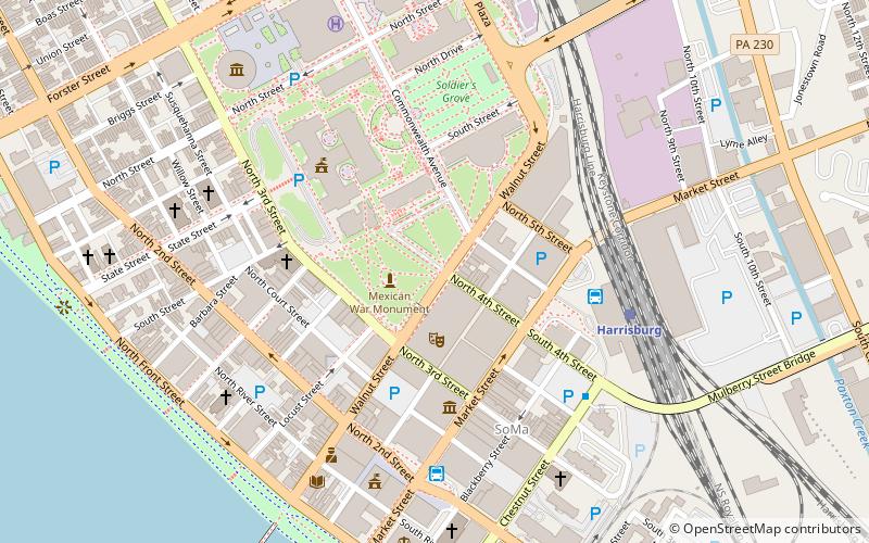
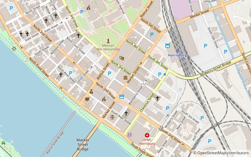
Tanner's Alley, also called Tanner's Lane, was used to describe an area in Harrisburg by 1811. Many of the city's population of free blacks lived along or near Tanner's Alley, a 500-foot section of the road. It is located along the present-day Capital Park. ()
Coordinates: 40°15'46"N, 76°52'53"W
Address
Downtown HarrisburgHarrisburg
ContactAdd
Social media
Add
Getting there by public transportation
Public transportation stops near this location
- Bus
- Train
 Bus
Bus
- Calculate routeHarrisburg 5 min walk
- Calculate routeFlixBus Harrisburg 6 min walk
- Calculate routeMarket Street Transfer Station 6 min walk
- Calculate routeHarrisburg 6 min walk
Day trips
Tanner's Alley – popular in the area (distance from the attraction)
Nearby attractions include: Pennsylvania State Capitol, Strawberry Square, Cathedral of Saint Patrick, Whitaker Center for Science and the Arts.


Frequently Asked Questions (FAQ)
Which popular attractions are close to Tanner's Alley?
Nearby attractions include Gamut Theatre Group, Harrisburg (2 min walk), Harrisburg University of Science and Technology, Harrisburg (3 min walk), Ronald Reagan Federal Building and Courthouse, Harrisburg (3 min walk), State Library of Pennsylvania, Harrisburg (4 min walk).
How to get to Tanner's Alley by public transport?
The nearest stations to Tanner's Alley:
Bus
Train
Bus
- Harrisburg (5 min walk)
- FlixBus Harrisburg • Lines: 2680 (6 min walk)
Train
- Harrisburg (6 min walk)