Magnolia Heights Historic District, Tallahassee
Map
Map

Facts and practical information
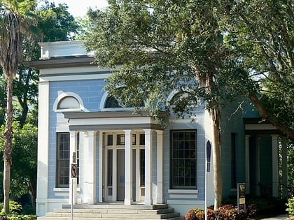
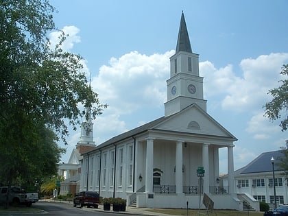
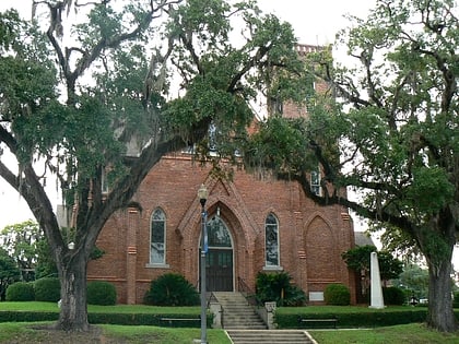
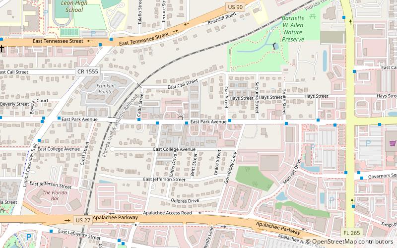
The Magnolia Heights Historic District is a U.S. historic district located in Tallahassee, Florida. The district runs from 701 through 1005 East Park Avenue, and Cadiz Street. It contains 25 historic buildings. ()
Coordinates: 30°26'30"N, 84°16'6"W
Address
Capital CascadeTallahassee
ContactAdd
Social media
Add
Day trips
Magnolia Heights Historic District – popular in the area (distance from the attraction)
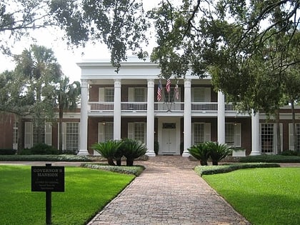
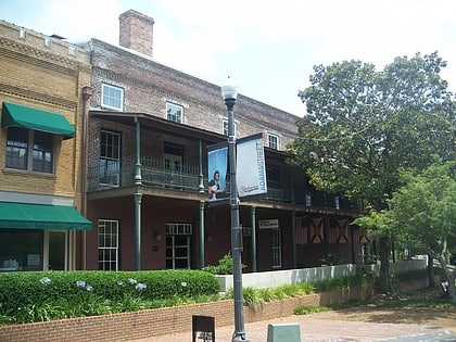
Nearby attractions include: Governor's Square, Florida State Capitol, Union Bank, Museum of Florida History.
Frequently Asked Questions (FAQ)
Which popular attractions are close to Magnolia Heights Historic District?
Nearby attractions include Smoky Hollow Historic District, Tallahassee (11 min walk), DeSoto Site Historic State Park, Tallahassee (12 min walk), Gov. John W. Martin House, Tallahassee (14 min walk), Brokaw-McDougall House, Tallahassee (15 min walk).
How to get to Magnolia Heights Historic District by public transport?
The nearest stations to Magnolia Heights Historic District:
Bus
Bus
- Gate 24 • Lines: Midtown Trolley, Nighttime Trolley, W (21 min walk)
- Gate 4 • Lines: C (22 min walk)


