Highland Heights–Stevens' Subdivision Historic District, Detroit
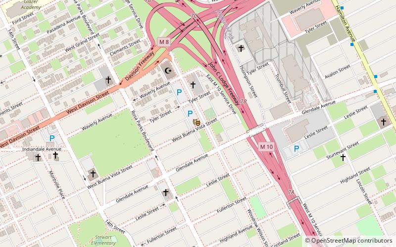
Map
Gallery
Facts and practical information
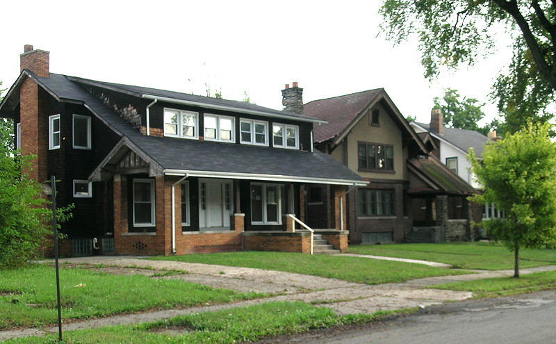
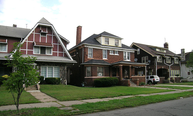
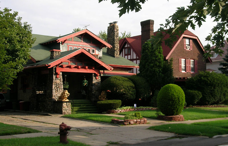
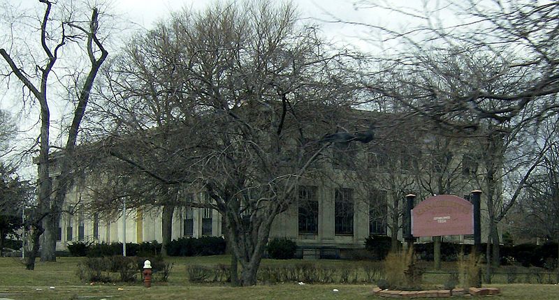
Highland Heights–Stevens' Subdivision Historic District is a residential historic district located in Highland Park, Michigan along five east-west streets: Farrand Park, McLean Street, Colorado Street, Rhode Island Street, and Massachusetts Street, between Woodward Avenue on the west and Oakland Avenue on the east. The district was listed on the National Register of Historic Places in 1988. ()
Coordinates: 42°23'49"N, 83°5'13"W
Address
Highland ParkDetroit
ContactAdd
Social media
Add
Day trips
Highland Heights–Stevens' Subdivision Historic District – popular in the area (distance from the attraction)
Nearby attractions include: Kunsthalle Detroit, Cathedral of the Most Blessed Sacrament, Medbury's–Grove Lawn Subdivisions Historic District, Detroit/Hamtramck-Highland Park.
Frequently Asked Questions (FAQ)
Which popular attractions are close to Highland Heights–Stevens' Subdivision Historic District?
Nearby attractions include Highland Park Presbyterian Church, Detroit (7 min walk), Grace Evangelical Lutheran Church, Detroit (7 min walk), Trinity United Methodist Church, Detroit (12 min walk), Cathedral of the Most Blessed Sacrament, Detroit (17 min walk).
How to get to Highland Heights–Stevens' Subdivision Historic District by public transport?
The nearest stations to Highland Heights–Stevens' Subdivision Historic District:
Bus
Bus
- Woodward / California • Lines: 04 (5 min walk)


