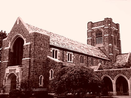
West Boulevard Historic District, Hartford
Map
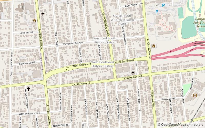
Map

Facts and practical information
The West Boulevard Historic District encompasses a historic residential development on West Boulevard and Rodney Street in the West End of Hartford, Connecticut. The area was developed beginning in 1909, and most of its homes were built by a single construction firm, creating a neighborhood appearance unified by style, scale, and setting, using the principles of the then-fashionable City Beautiful movement. The district was listed on the National Register of Historic Places in 2007. ()
Area: 12 acres (0.0187 mi²)Coordinates: 41°45'41"N, 72°42'38"W
Address
West EndHartford
ContactAdd
Social media
Add
Day trips
West Boulevard Historic District – popular in the area (distance from the attraction)
Nearby attractions include: Mark Twain House, Harriet Beecher Stowe Center, Elizabeth Park, Connecticut Historical Society.
Frequently Asked Questions (FAQ)
Which popular attractions are close to West Boulevard Historic District?
Nearby attractions include West End South Historic District, Hartford (3 min walk), Sisson-South Whitney Historic District, Hartford (6 min walk), Noah Webster Memorial Library, West Hartford (11 min walk), St. John's Episcopal Church, West Hartford (11 min walk).
How to get to West Boulevard Historic District by public transport?
The nearest stations to West Boulevard Historic District:
Bus
Bus
- Parkville Station (12 min walk)
- Kane Street Station (20 min walk)


