Dobson Ranch, Mesa

Map
Facts and practical information
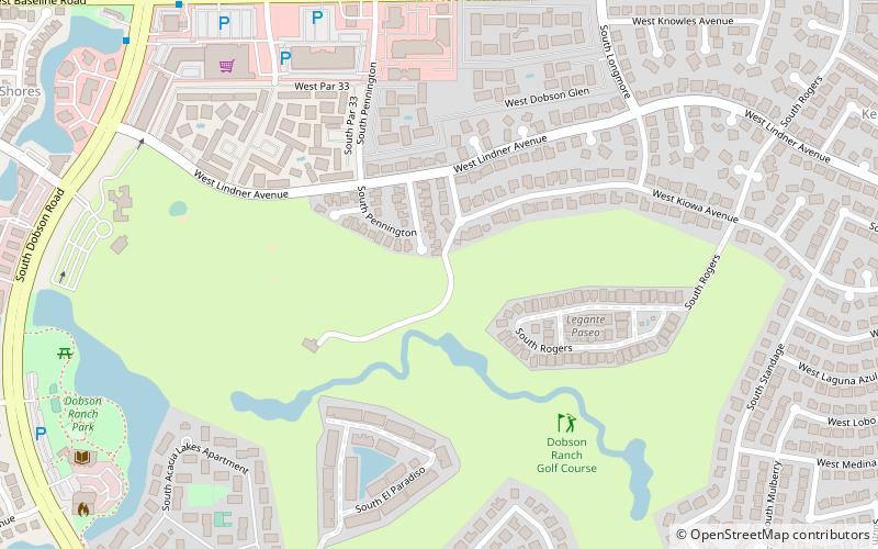
Dobson Ranch is a planned community in Mesa, Arizona. It was built between 1973 and 1999 on and around the site of a homestead that was purchased from the Dobson family by the City of Mesa. The community, which is characterized by a golf course and several small man-made lakes, is bordered by the US 60 to the north, the 101 to the west, Guadalupe Road to the south, and Extension Road to the east. ()
Coordinates: 33°22'26"N, 111°52'19"W
Address
West Mesa (Dobson Ranch)Mesa
ContactAdd
Social media
Add
Day trips
Dobson Ranch – popular in the area (distance from the attraction)
Nearby attractions include: Fiesta Mall, Fiesta Lakes, Dobson Ranch Golf Course, The Church of Jesus Christ of Latter-day Saints - Keating Av Mesa AZ.
Frequently Asked Questions (FAQ)
Which popular attractions are close to Dobson Ranch?
Nearby attractions include St. Timothy Catholic Church, Mesa (16 min walk), The Church of Jesus Christ of Latter-day Saints - Keating Av Mesa AZ, Mesa (20 min walk).


