Joliet Township High School District 204, Joliet
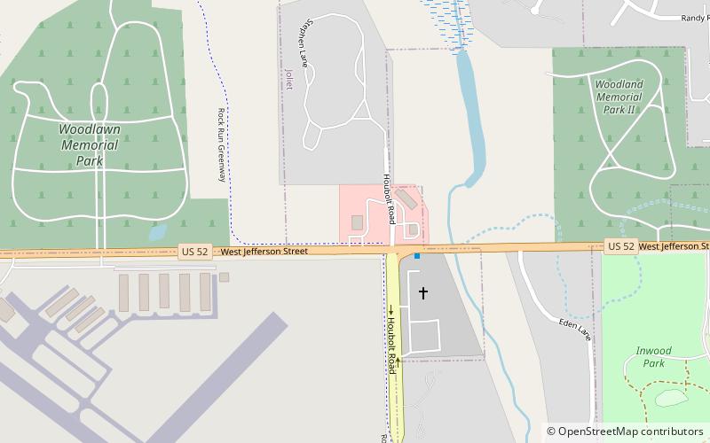
Map
Facts and practical information
Joliet Township High School District 204 is a high school district located in Joliet in western Will County, Illinois. Established in 1899 and founded in 1901, it is one of the area's oldest school districts. Originally consisting of a single school, Joliet Township High School, the district was expanded for the 1964–1965 school year with two new additional schools, Joliet East High School and Joliet West High School. ()
Coordinates: 41°30'57"N, 88°8'42"W
Address
Joliet
ContactAdd
Social media
Add
Getting there by public transportation
Public transportation stops near this location
- Bus
 Bus
Bus
- Calculate routeJefferson & Joyce 13 min walk
- Calculate routeJefferson & Fairlane 13 min walk
- Calculate route2941 W Jefferson St 17 min walk
Day trips


Frequently Asked Questions (FAQ)
How to get to Joliet Township High School District 204 by public transport?
The nearest stations to Joliet Township High School District 204:
Bus
Bus
- Jefferson & Joyce • Lines: 501, 505 (13 min walk)
- Jefferson & Fairlane • Lines: 501 (13 min walk)