Metro South Historic District, Middletown
Map

Map

Facts and practical information
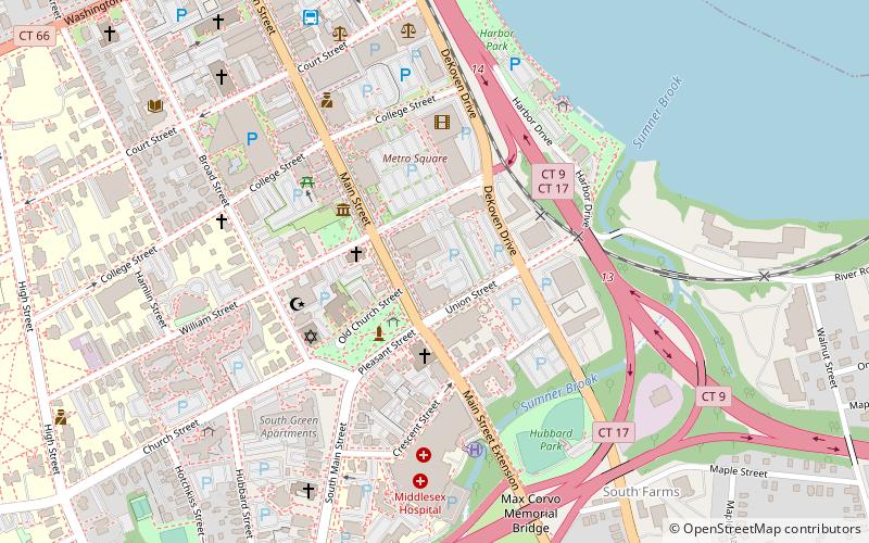
The Metro South Historic District encompasses a portion of the downtown area of Middletown, Connecticut. Extending south from Main and College Streets for two blocks, this area was developed in the 19th century, and contains a diversity of well-preserved architecture from that period, some with association to locally important individuals. It was listed on the National Register of Historic Places in 1980. ()
Area: 9 acres (0.0141 mi²)Coordinates: 41°33'27"N, 72°38'49"W
Address
Middletown
ContactAdd
Social media
Add
Day trips
Metro South Historic District – popular in the area (distance from the attraction)
Nearby attractions include: Indian Hill Cemetery, Arrigoni Bridge, Church of the Holy Trinity and Rectory, Kidcity Children's Museum.
Frequently Asked Questions (FAQ)
Which popular attractions are close to Metro South Historic District?
Nearby attractions include Middletown South Green Historic District, Middletown (4 min walk), Broad Street Historic District, Middletown (6 min walk), St. Mary of Czestochowa Parish, Middletown (7 min walk), Russell Library, Middletown (9 min walk).


