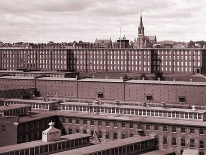
District A, Manchester
Map

Map

Facts and practical information
District A is a historic worker housing district located in Manchester, New Hampshire, near the former Amoskeag Manufacturing Company millyard. It is bounded by Pleasant, State, Granite, and Bedford streets, and includes seven surviving tenement blocks built by Amoskeag between 1843 and 1852. The district was added to the National Register of Historic Places on November 12, 1982. ()
Coordinates: 42°59'14"N, 71°28'5"W
Address
East Side Manchester (Downtown Manchester)Manchester
ContactAdd
Social media
Add
Day trips
District A – popular in the area (distance from the attraction)
Nearby attractions include: Northeast Delta Dental Stadium, SNHU Arena, Currier Museum of Art, The Palace Theatre.
Frequently Asked Questions (FAQ)
Which popular attractions are close to District A?
Nearby attractions include University of New Hampshire at Manchester, Manchester (1 min walk), Manchester Historical Society Millyard Museum, Manchester (5 min walk), District B, Manchester (7 min walk), SNHU Arena, Manchester (9 min walk).
How to get to District A by public transport?
The nearest stations to District A:
Bus
Bus
- Manchester Transportation Center (3 min walk)

 Metrolink
 Metrolink / Rail


