Abolitionist Place, Sea Gate

Facts and practical information
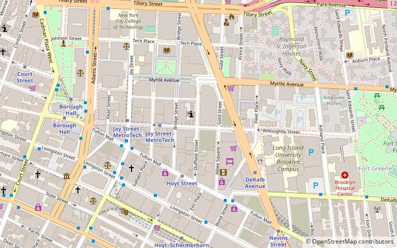
Abolitionist Place is an alternative name for a section of Duffield Street in Brooklyn, New York City, which was a significant site of abolitionist activity in the 19th century. Abolitionists Harriet and Thomas Truesdell lived at 227 Duffield Street, which is believed to have been a stop on the Underground Railroad. William Harned, an Underground Railroad conductor, lived at the intersection with Willoughby Street, and stories have been passed down orally of involvement of several houses on the block. Duffield Street is said to be named for John Duffield, a Brooklyn resident and surgeon during the American Revolutionary War. ()
227 Duffield St., Brooklyn, New YorkNorthwestern Brooklyn (Downtown Brooklyn)Sea Gate
Abolitionist Place – popular in the area (distance from the attraction)
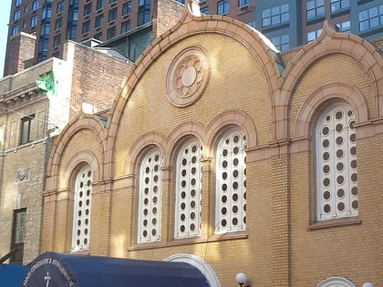
Nearby attractions include: New York Transit Museum, Korean War Veterans Plaza, Golconda Playground, Belarusian Autocephalous Orthodox Church.
Frequently Asked Questions (FAQ)
Which popular attractions are close to Abolitionist Place?
How to get to Abolitionist Place by public transport?
Metro
- Jay Street–MetroTech • Lines: <F>, A, C, F, N, R (3 min walk)
- Hoyt Street • Lines: 2, 3 (4 min walk)
Bus
- Greyhound (6 min walk)
- Myrtle Avenue & Saint Edwards Street • Lines: B54 (10 min walk)
Train
- Atlantic Terminal (17 min walk)
Ferry
- Pier 11/Wall Street Terminal (34 min walk)


