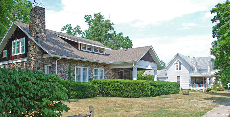
Dibbleville-Fentonville Historic District, Fenton
Map

Gallery

Facts and practical information
The Dibbleville-Fentonville Historic District is a primarily residential historic district roughly bounded by Shiawassee, Riggs, Holly and George Streets in Fenton, Michigan. It was listed on the National Register of Historic Places in 1982. ()
Coordinates: 42°47'31"N, 83°42'20"W
Address
FentonFenton
ContactAdd
Social media
Add
Day trips
Dibbleville-Fentonville Historic District – popular in the area (distance from the attraction)
Nearby attractions include: Fenton United Methodist Church, Fenton Museum, Volney Church-Carlos B. Shotwell House, Col. J. Hinckley House.
Frequently Asked Questions (FAQ)
Which popular attractions are close to Dibbleville-Fentonville Historic District?
Nearby attractions include Fenton Museum, Fenton (3 min walk), Benjamin Bangs House, Fenton (6 min walk), Volney Church-Carlos B. Shotwell House, Fenton (6 min walk), Fenton United Methodist Church, Fenton (8 min walk).


