Oakland Public School, Pittsburgh
Map

Map

Facts and practical information
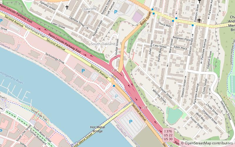
The Oakland Public School also known as the Holmes School in the South Oakland neighborhood of Pittsburgh, Pennsylvania was built in 1893 and expanded in 1899. It is believed that Ulysses J.L. Peoples designed the building. The school was scheduled to be closed in 1986. ()
Coordinates: 40°25'56"N, 79°57'16"W
Address
Central Pittsburgh (South Oakland)Pittsburgh
ContactAdd
Social media
Add
Day trips
Oakland Public School – popular in the area (distance from the attraction)
Nearby attractions include: SouthSide Works, Phipps Conservatory, Carnegie Museums of Pittsburgh, Frick Fine Arts Building.
Frequently Asked Questions (FAQ)
Which popular attractions are close to Oakland Public School?
Nearby attractions include Shrine of the Blessed Mother, Pittsburgh (6 min walk), Hot Metal Bridge, Pittsburgh (11 min walk), Oakland Square Historic District, Pittsburgh (12 min walk), Panther Hollow Lake, Pittsburgh (12 min walk).
How to get to Oakland Public School by public transport?
The nearest stations to Oakland Public School:
Bus
Bus
- Fifth Avenue opposite Craft Avenue • Lines: 71B (17 min walk)
- Atwood Station • Lines: 71B (18 min walk)


