Malden City Infirmary, Melrose

Gallery (1)
Map
Map
Facts and practical information
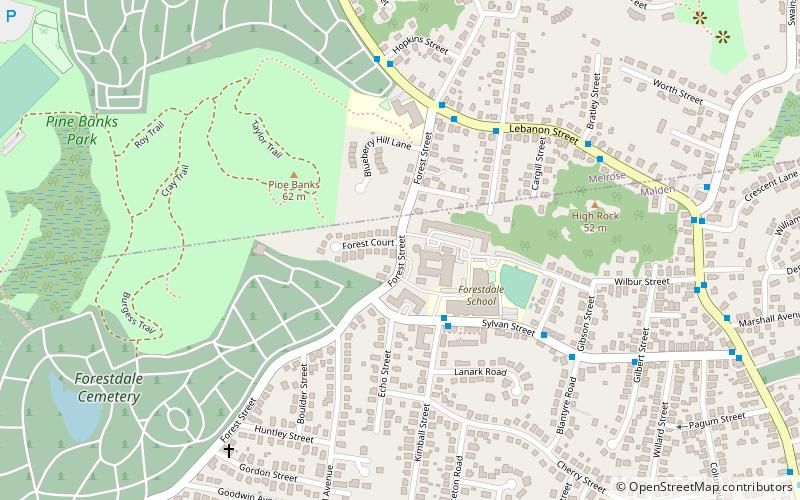
The Malden City Infirmary is a historic municipal facility at 341 Forest Street in Malden, Massachusetts. Established by the city in the 18th century as a poor farm, the surviving elements of the property include the 1870 Warden's House, and the 1933 infirmary, which continues to serve as an elderly care and nursing facility known as Forestdale Senior Living. The property was listed on the National Register of Historic Places in 2020. ()
Coordinates: 42°26'28"N, 71°3'20"W
Address
Malden (Forestdale)Melrose
ContactAdd
Social media
Add
Getting there by public transportation
Public transportation stops near this location
- Metro
- Train
 Metro
Metro
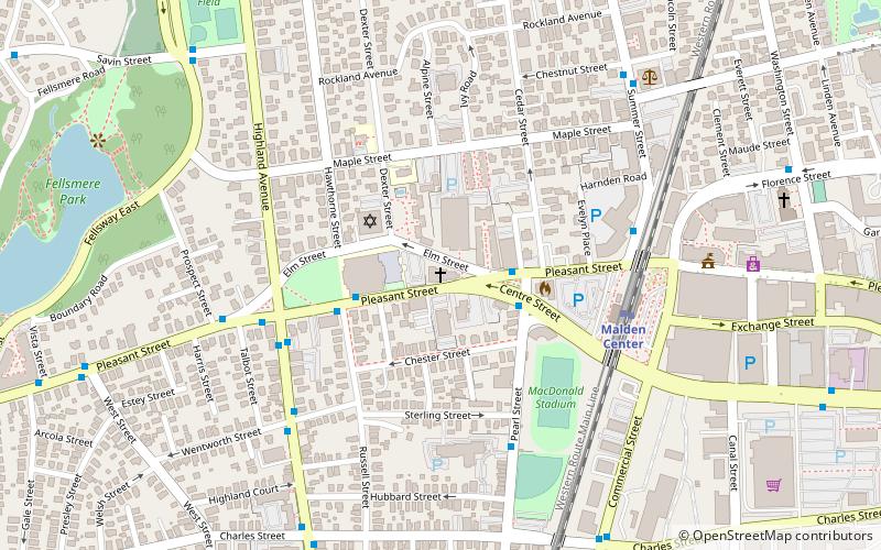
- Calculate routeOak Grove 21 min walk
- Calculate routeMalden Center 36 min walk
- Calculate routeWyoming Hill 26 min walk
- Calculate routeMalden Center 36 min walk
Day trips


Frequently Asked Questions (FAQ)
Which popular attractions are close to Malden City Infirmary?
Nearby attractions include Pine Banks Park, Melrose (11 min walk), Waitt's Mountain, Boston (19 min walk).
How to get to Malden City Infirmary by public transport?
The nearest stations to Malden City Infirmary:
Metro
Train
Metro
- Oak Grove • Lines: Orange (21 min walk)
- Malden Center • Lines: Orange (36 min walk)
Train
- Wyoming Hill (26 min walk)
- Malden Center (36 min walk)