Swan Canyon, San Diego

Map
Facts and practical information
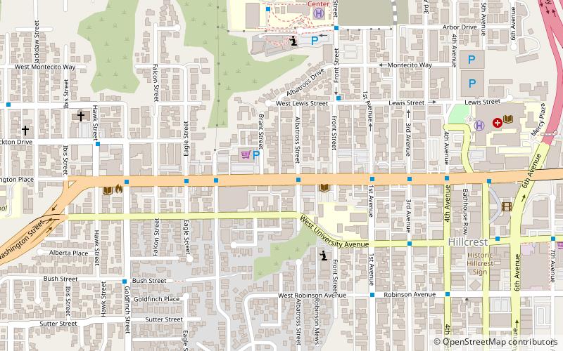
Swan Canyon is a neighborhood in the City Heights community of San Diego, California. It is bounded by Oak Park on the east, Hollywood Park on the west, Fairmount Village on the north and Ridgeview on the south. ()
Area: 189.44 acres (0.296 mi²)Coordinates: 32°45'0"N, 117°9'60"W
Address
Western San Diego (Hillcrest)San Diego
ContactAdd
Social media
Add
Day trips
Swan Canyon – popular in the area (distance from the attraction)
Nearby attractions include: San Diego Zoo, San Diego Natural History Museum, San Diego Museum of Art, Spanish Village Art Center.
Frequently Asked Questions (FAQ)
Which popular attractions are close to Swan Canyon?
Nearby attractions include First Unitarian Universalist Church of San Diego, San Diego (7 min walk), Lambda Archives of San Diego, San Diego (11 min walk), Mission Hills United Methodist Church, San Diego (14 min walk), All Saints Episcopal Church, San Diego (15 min walk).
How to get to Swan Canyon by public transport?
The nearest stations to Swan Canyon:
Bus
Light rail
Bus
- Hillcrest Medical Center • Lines: H (8 min walk)
- Rental Car Center Drop Off • Lines: Rental Car Shuttle (33 min walk)
Light rail
- Fashion Valley • Lines: 530 (28 min walk)
- Washington Street • Lines: 510, 530 (31 min walk)


