Andover Public Schools, Andover
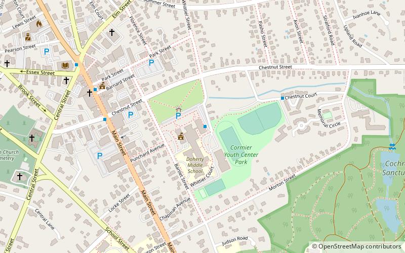
Map
Facts and practical information
The Andover Public Schools district is the public school district for the town of Andover, Massachusetts. Overseeing 10 educational facilities, ranging from pre-kindergarten to the 12th grade, the district is administrated by superintendent Magda Parvey, who reports directly to an elected school committee, consisting of five residents of the town elected for three-year terms. ()
Coordinates: 42°39'18"N, 71°8'8"W
Address
AndoverAndover
ContactAdd
Social media
Add
Getting there by public transportation
Public transportation stops near this location
- Train
 Train
Train
- Calculate routeAndover 14 min walk
Day trips
Andover Public Schools – popular in the area (distance from the attraction)
Nearby attractions include: Addison Gallery of American Art, J. Everett Collins Center for the Performing Arts, Robert S. Peabody Museum of Archaeology, Andover Town Hall.


Frequently Asked Questions (FAQ)
Which popular attractions are close to Andover Public Schools?
Nearby attractions include Main Street–Locke Street Historic District, Andover (6 min walk), Andover Town Hall, Andover (6 min walk), Memorial Hall Library, Andover (9 min walk), J. T. Abbot House, Andover (11 min walk).
How to get to Andover Public Schools by public transport?
The nearest stations to Andover Public Schools:
Train
Train
- Andover (14 min walk)