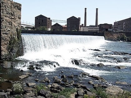
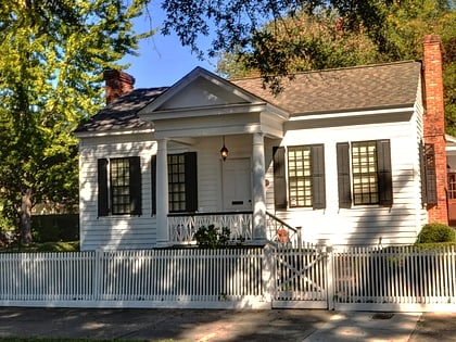
Columbus Historic District, Columbus
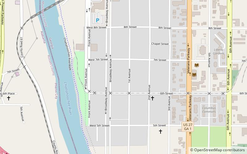
Map
Facts and practical information
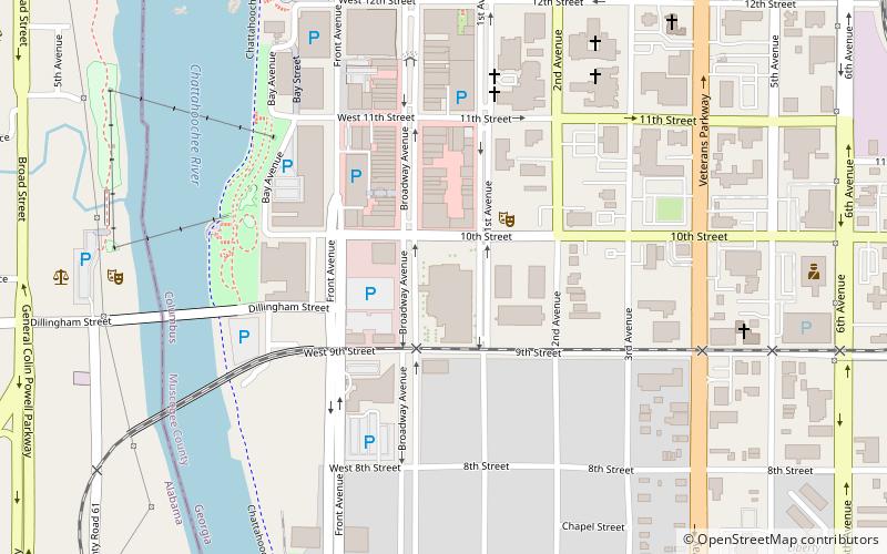
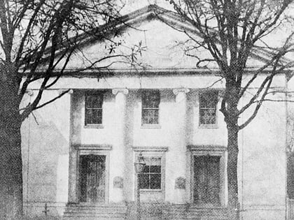
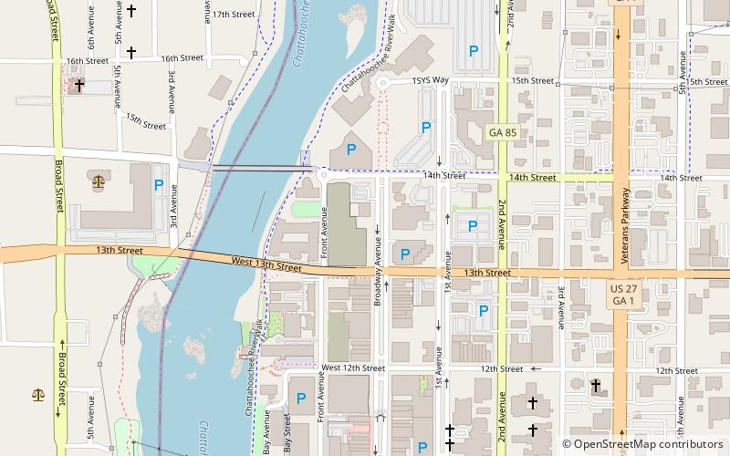
Columbus Historic District in Columbus, Georgia is a historic district that was listed on the National Register of Historic Places in 1969. Its area was increased in 1988. The original district included 20 city blocks and nine partial city blocks, and was bounded by the Chattahoochee River on the west, Ninth Street on the north, Fourth Avenue on the east, and Fourth Street on the south. ()
Coordinates: 32°27'29"N, 84°59'32"W
Address
Downtown ColumbusColumbus
ContactAdd
Social media
Add
Day trips
Columbus Historic District – popular in the area (distance from the attraction)
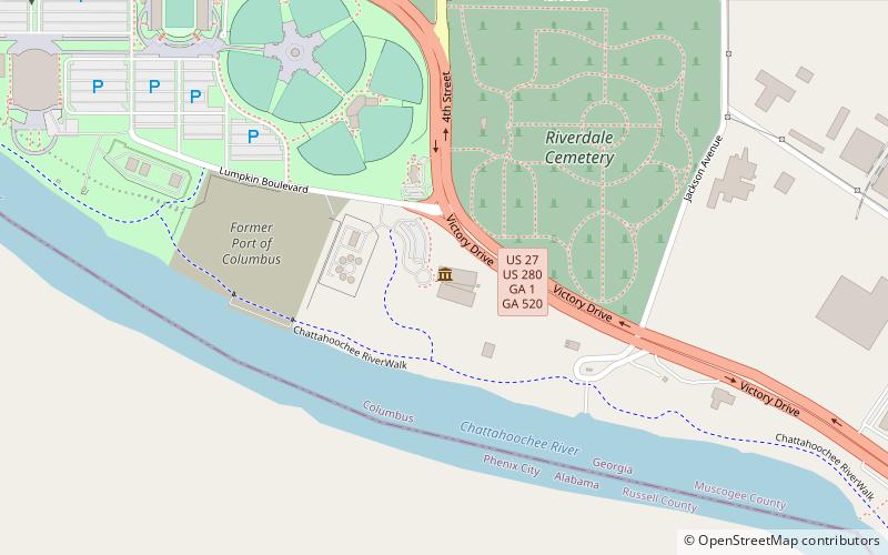
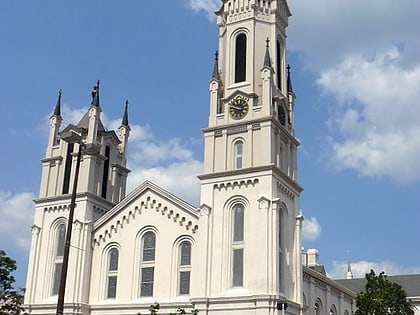
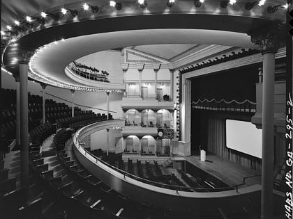
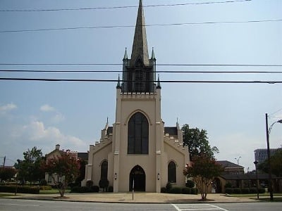
Nearby attractions include: Columbus Civic Center, National Civil War Naval Museum, RiverCenter for the Performing Arts, First Presbyterian Church.
Frequently Asked Questions (FAQ)
Which popular attractions are close to Columbus Historic District?
Nearby attractions include Pemberton House, Columbus (3 min walk), Mead Observatory, Columbus (6 min walk), RiverCenter for the Performing Arts, Columbus (11 min walk), Art Department at Columbus State University, Columbus (11 min walk).

