St. Michaels Historic District, St. Michaels
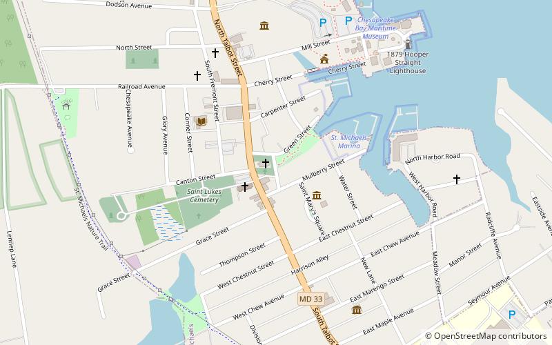
Map

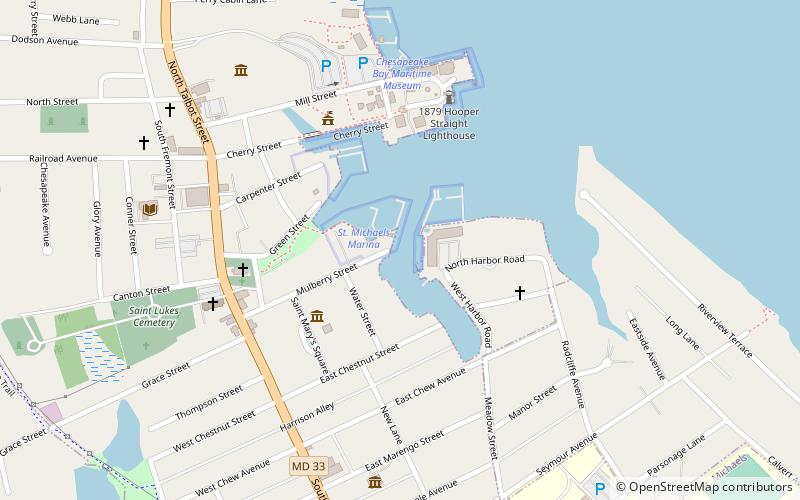
Map

Facts and practical information
The Saint Michaels Historic District encompasses the historic center of Saint Michaels, Maryland. The town, which has about 1,000 permanent residents, is located on a tributary to the Chesapeake Bay on the Eastern Shore of Maryland. After over 100 years as a center for trade and shipbuilding, the community was incorporated as a town in 1805. Shipbuilding peaked in 1820, and the town's economy became focused more on oyster and seafood collection and packing. In the 1970s, the town transitioned to tourism. ()
Coordinates: 38°47'4"N, 76°13'24"W
Address
St. Michaels
ContactAdd
Social media
Add
Day trips
St. Michaels Historic District – popular in the area (distance from the attraction)
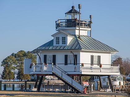
Nearby attractions include: Chesapeake Bay Maritime Museum, Hooper Strait Light, Candleberry Shoppe, Edmee S..
Frequently Asked Questions (FAQ)
Which popular attractions are close to St. Michaels Historic District?
Nearby attractions include Candleberry Shoppe, St. Michaels (2 min walk), Magic, St. Michaels (5 min walk), Persistence, St. Michaels (5 min walk), Rover, St. Michaels (5 min walk).


