Rice Village, Houston
Map

Map

Facts and practical information
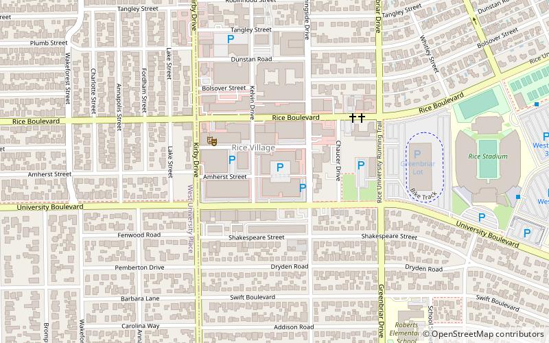
Rice Village is a shopping district in Houston, Texas, United States. ()
Coordinates: 29°42'58"N, 95°24'58"W
Address
Inner Loop (University Place)Houston
ContactAdd
Social media
Add
Day trips
Rice Village – popular in the area (distance from the attraction)
Nearby attractions include: Lakewood Church, Woodson Research Center, Autry House, Deborah Colton Gallery.
Frequently Asked Questions (FAQ)
Which popular attractions are close to Rice Village?
Nearby attractions include James Turrell Skyspace at Rice University, Houston (18 min walk), Rice University, Houston (21 min walk), Houston Maritime Museum, Houston (21 min walk), Deborah Colton Gallery, Houston (21 min walk).
How to get to Rice Village by public transport?
The nearest stations to Rice Village:
Bus
Light rail
Bus
- Shelter C • Lines: 2211 (15 min walk)
- TMC Transit Center (28 min walk)
Light rail
- Dryden/TMC • Lines: Red (26 min walk)
- TMC Transit Center • Lines: Red (29 min walk)


