Birmingham Green Historic District, Derby
Map
Facts and practical information
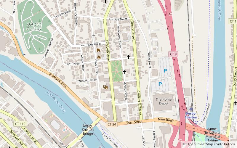
The Birmingham Green Historic District is located in central Derby, Connecticut just north of the central business district. Also known as the Derby Green Historic District, the district consists of the Green and the buildings surrounding it on the east, north, and west sides. A total of 10 buildings, 3 of which are churches, and 4 monuments encompass the district. It was listed on the National Register of Historic Places in 2000 as a good example of privately organized 19th century urban planning. ()
Coordinates: 41°19'20"N, 73°5'20"W
Address
Derby
ContactAdd
Social media
Add
Day trips
Birmingham Green Historic District – popular in the area (distance from the attraction)
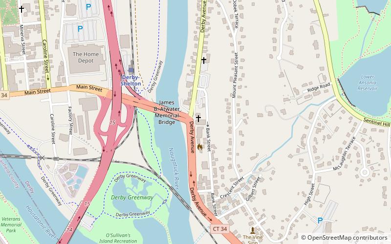
Nearby attractions include: Derby-Shelton Bridge, David Humphreys House, Osborne Homestead Museum, St. Michael the Archangel Parish.


Frequently Asked Questions (FAQ)
Which popular attractions are close to Birmingham Green Historic District?
Nearby attractions include Sterling Opera House, Derby (2 min walk), Derby-Shelton Bridge, Derby (7 min walk), Derby Public Library, Derby (9 min walk), St. Michael the Archangel Parish, Derby (13 min walk).