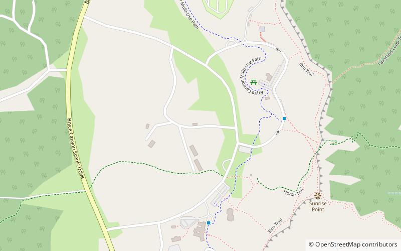
Old National Park Service Housing Historic District, Bryce Canyon National Park
Map

Map

Facts and practical information
The Old National Park Service Housing Historic District in Bryce Canyon National Park represents the first housing development within the park specifically designed to house National Park Service employees. Most of these units were intended for unmarried seasonal employees, and were small in scale. The majority were built between 1932 and 1936. Plans were developed by the Park Service Branch of Plans and Design. The district includes several cabins, a ranger dormitory, and a "wood vendor" structure. ()
Coordinates: 37°37'50"N, 112°10'5"W
Address
Bryce Canyon National Park
ContactAdd
Social media
Add
Day trips
Old National Park Service Housing Historic District – popular in the area (distance from the attraction)
Nearby attractions include: Under-the-Rim Trail, Bryce Canyon National Park Scenic Trails Historic District.
Frequently Asked Questions (FAQ)
How to get to Old National Park Service Housing Historic District by public transport?
The nearest stations to Old National Park Service Housing Historic District:
Bus
Bus
- Sunrise Point #8 • Lines: Bryce Canyon Shuttle (6 min walk)
- Sunset Point #6 • Lines: Bryce Canyon Shuttle (13 min walk)


