Belden Forest, Simsbury
Map

Map

Facts and practical information
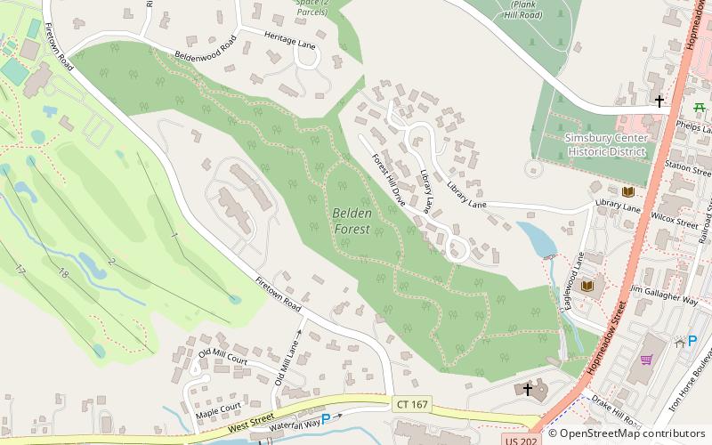
Belden Forest is a 40-acre wooded area owned by the Town of Simsbury, which was inducted into the Old-Growth Forest Network in October 2019. The trails are open to the public. ()
Coordinates: 41°52'26"N, 72°48'33"W
Address
Simsbury Center Historic DistrictSimsbury
ContactAdd
Social media
Add
Day trips
Belden Forest – popular in the area (distance from the attraction)
Nearby attractions include: Phelps Tavern Museum, Drake Hill Road Bridge, St. Mary's Simsbury, Simsbury Free Library.
Frequently Asked Questions (FAQ)
Which popular attractions are close to Belden Forest?
Nearby attractions include Simsbury Center Historic District, Simsbury (9 min walk), Simsbury Free Library, Simsbury (9 min walk), Phelps Tavern Museum, Simsbury (13 min walk), Simsbury Center, Simsbury (13 min walk).


