East Isles, Minneapolis
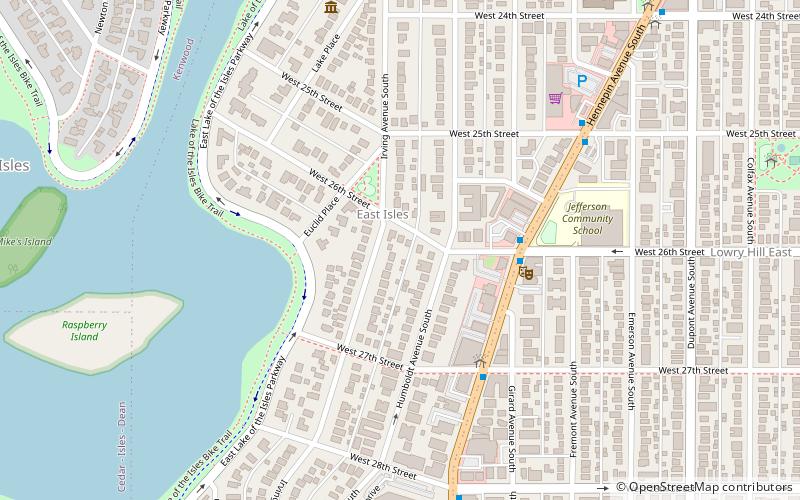
Map
Facts and practical information
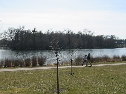
East Isles is a neighborhood within the larger Calhoun-Isles community in Minneapolis, Minnesota, United States. The neighborhood was originally a part of the more historically affluent neighborhoods around Lake of the Isles: Kenwood and Lowry Hill. However, since the 1940s, it has become more urbanized than the rest of the community, since numerous apartment buildings have been built in the area. But, old mansions still can be found hidden in the neighborhood. ()
Area: 212.48 acres (0.332 mi²)Coordinates: 44°57'20"N, 93°17'58"W
Address
Calhoun Isles (East Isles)Minneapolis
ContactAdd
Social media
Add
Day trips
East Isles – popular in the area (distance from the attraction)
Nearby attractions include: Walker Art Center, Seven Points, Lake of the Isles, Edna S. Purcell House.
Frequently Asked Questions (FAQ)
Which popular attractions are close to East Isles?
Nearby attractions include Edna S. Purcell House, Minneapolis (7 min walk), Dr. Oscar Owre House, Minneapolis (9 min walk), Temple Israel, Minneapolis (9 min walk), Lowry Hill East, Minneapolis (10 min walk).
How to get to East Isles by public transport?
The nearest stations to East Isles:
Bus
Bus
- Uptown Transit Center (10 min walk)
- 22 St W • Lines: 2, 2A, 2C (13 min walk)


