Bozeman Brewery Historic District, Bozeman
Map
Facts and practical information
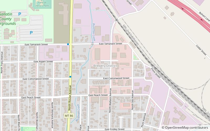
The Bozeman Brewery Historic District, located in Bozeman, Montana, at 700–800 N. Wallace Avenue, consists of five structures, all still closely connected to the Julius Lehrkind family and their Bozeman Brewery business. Lehrkind and his brother, Fred, were brewers who immigrated to America from Germany. Lehrkind and his extended family eventually settled in Bozeman, and the family continues to operate businesses in the Bozeman area. The five structures in this historic district are: ()
Coordinates: 45°41'15"N, 111°1'44"W
Address
Bozeman
ContactAdd
Social media
Add
Getting there by public transportation
Public transportation stops near this location
- Bus
 Bus
Bus
- Calculate routeRouse & Cottonwood 4 min walk
- Calculate routeTamarack & Tracy 12 min walk
- Calculate routeMendenhall & Bozeman 14 min walk
Day trips


Frequently Asked Questions (FAQ)
Which popular attractions are close to Bozeman Brewery Historic District?
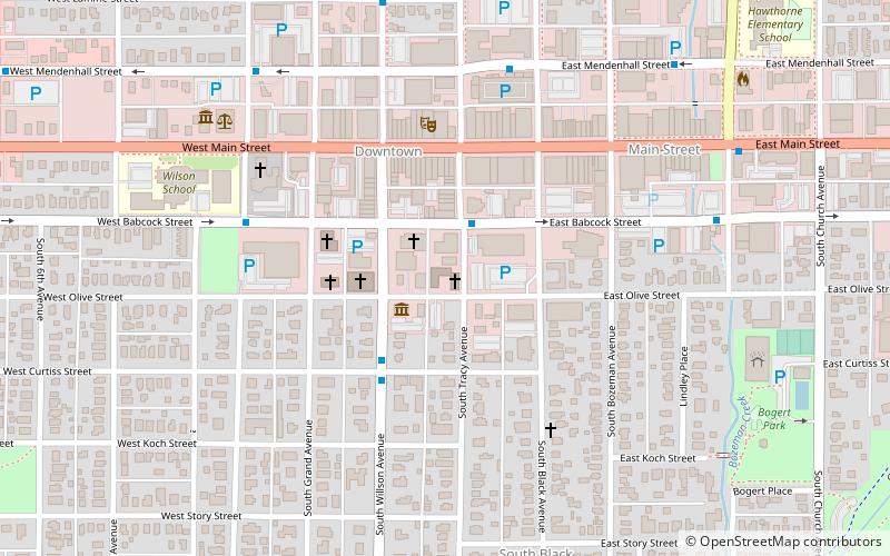
Nearby attractions include Beall Park, Bozeman (11 min walk), Spieth and Krug Brewery, Bozeman (11 min walk), Bozeman Carnegie Library, Bozeman (14 min walk), Bozeman Public Library, Bozeman (16 min walk).
How to get to Bozeman Brewery Historic District by public transport?
The nearest stations to Bozeman Brewery Historic District:
Bus
Bus
- Rouse & Cottonwood • Lines: Blue (4 min walk)
- Tamarack & Tracy • Lines: Blue (12 min walk)