North 30th Street, Omaha
Map
Facts and practical information
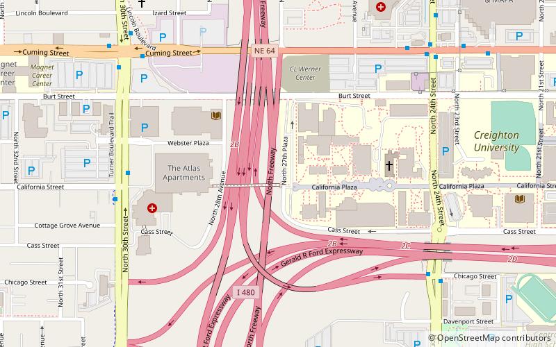
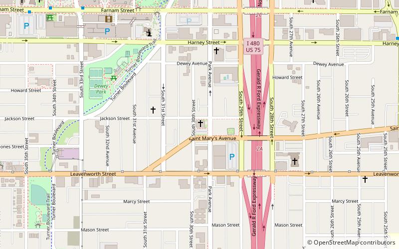
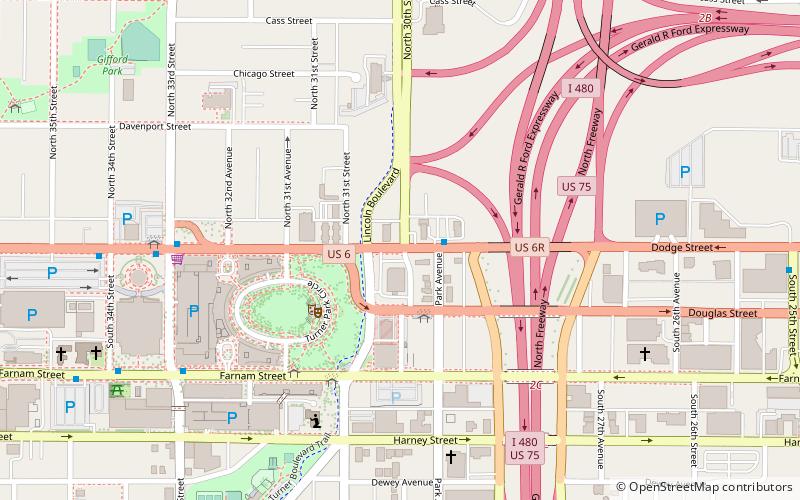
North 30th Street is a two-way street that runs south–north in the North Omaha area of Omaha, Nebraska. With the street beginning at Dodge Street, historically significant sections include those from Dodge to Lake Street, from Fort Street to Laurel Avenue, and from Weber to Bondesson Streets. ()
Coordinates: 41°15'35"N, 95°57'24"W
Address
MidtownOmaha
ContactAdd
Social media
Add
Day trips
North 30th Street – popular in the area (distance from the attraction)
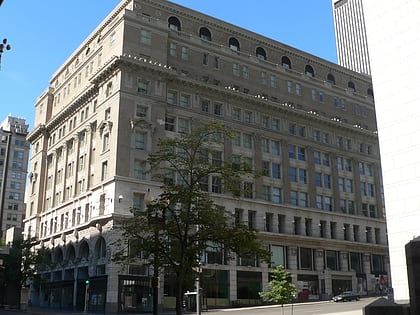
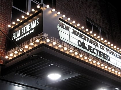
Nearby attractions include: J. L. Brandeis and Sons Store Building, Joslyn Art Museum, Film Streams, Orpheum Theatre.
Frequently Asked Questions (FAQ)
Which popular attractions are close to North 30th Street?
Nearby attractions include Turner Park, Omaha (4 min walk), First Unitarian Church of Omaha, Omaha (6 min walk), Mutual of Omaha Building, Omaha (8 min walk), Kountze Memorial Lutheran Church, Omaha (8 min walk).
How to get to North 30th Street by public transport?
The nearest stations to North 30th Street:
Bus
Bus
- Park Avenue & Douglas • Lines: 2 (3 min walk)
- 30th & Harrison • Lines: 24 (12 min walk)
