Fair Oaks Avenue, La Cañada Flintridge
Map
Facts and practical information
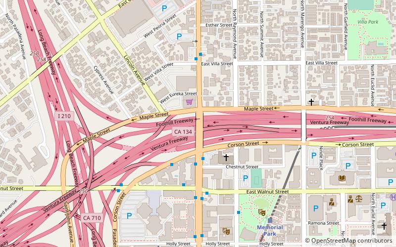
Fair Oaks Avenue in Pasadena, California, is a major north–south road connecting the communities of Altadena, Pasadena, and South Pasadena, running 7.9 miles in length. It starts at its southernmost end in South Pasadena at Huntington Drive. It travels due north to a terminus above Loma Alta Avenue in Altadena and the gates of Angelus County Park. Beyond this, the road becomes a private easement. ()
Coordinates: 34°9'7"N, 118°9'2"W
Address
Northwest Pasadena (Lincoln-Villa)La Cañada Flintridge
ContactAdd
Social media
Add
Getting there by public transportation
Public transportation stops near this location
- Bus
- Light rail
 Bus
Bus
- Calculate routeMemorial Park 8 min walk
- Calculate routeDel Mar 18 min walk
- Calculate routeLake 28 min walk
- Calculate routeColorado / Fair Oaks 11 min walk
Day trips


Frequently Asked Questions (FAQ)
Which popular attractions are close to Fair Oaks Avenue?
Nearby attractions include St. Andrew's Catholic Church, Los Angeles (4 min walk), Raymond–Summit Historic District, La Cañada Flintridge (5 min walk), Court at 533-549 North Lincoln Avenue, La Cañada Flintridge (7 min walk), Armory Center for the Arts, La Cañada Flintridge (7 min walk).
How to get to Fair Oaks Avenue by public transport?
The nearest stations to Fair Oaks Avenue:
Light rail
Bus
Light rail
- Memorial Park • Lines: L (8 min walk)
- Del Mar • Lines: L (18 min walk)
Bus
- Colorado / Fair Oaks • Lines: 10 (11 min walk)