Woodlawn Commercial Historic District, Birmingham
Facts and practical information
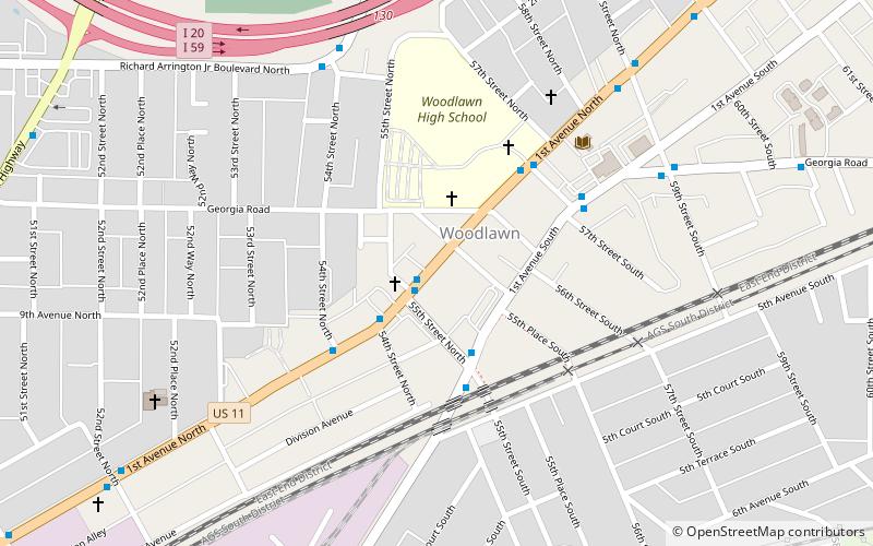
The Woodlawn Commercial Historic District, in Birmingham, Alabama, was listed on the National Register of Historic Districts in 1991. It is a 6 acres district which included 12 contributing buildings and four non-contributing buildings in an area around the junction of 1st Avenue North and 55th Place in Birmingham, at the center of the community of Woodlawn, Alabama, which for a time was a separate city before being absorbed into Birmingham. A much larger portion of the community, including all of this Commercial historic district and residential areas as well, was later listed on the National Register as Woodlawn Historic District. ()
WoodlawnBirmingham
- Bus
 Bus
Bus
- Calculate routeNW Corner of 1st Ave N & 55th St N 1 min walk
- Calculate routeSE Corner of 1st Ave N & 55th St N 1 min walk
- Calculate routeNE Corner of 1st Ave N & 54th St N 3 min walk
Woodlawn Commercial Historic District – popular in the area (distance from the attraction)
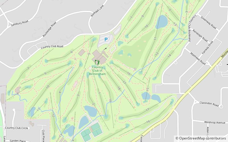
Nearby attractions include: Sloss Furnaces National Historic Landmark, Woodlawn City Hall, Highland Park Golf Course, Eastwood Village.


Frequently Asked Questions (FAQ)
Which popular attractions are close to Woodlawn Commercial Historic District?
How to get to Woodlawn Commercial Historic District by public transport?
Bus
- NW Corner of 1st Ave N & 55th St N • Lines: 28 (1 min walk)
- SE Corner of 1st Ave N & 55th St N • Lines: 28 (1 min walk)