Ledyard Block Historic District, Grand Rapids
Map

Map

Facts and practical information
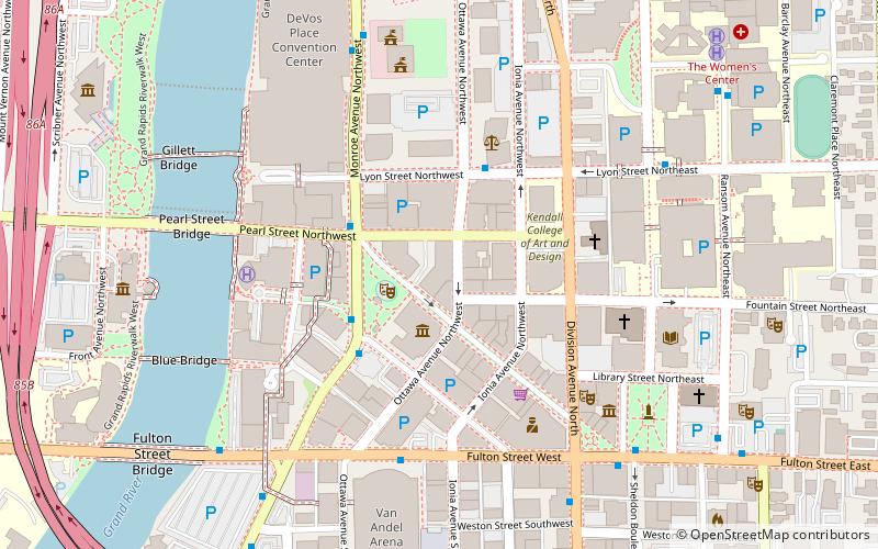
The Ledyard Block Historic District is a group of seven adjacent, coherently designed, nineteenth century commercial structures located within a square block at 123-145 Ottawa Avenue and 104-124 Monroe Center, NW, in Grand Rapids, Michigan. The group of buildings was listed on the National Register of Historic Places in 1983. ()
Coordinates: 42°57'57"N, 85°40'14"W
Address
Downtown Grand RapidsGrand Rapids
ContactAdd
Social media
Add
Day trips
Ledyard Block Historic District – popular in the area (distance from the attraction)
Nearby attractions include: Grand Rapids Art Museum, Van Andel Arena, Grand Rapids Public Museum, La Grande Vitesse.
Frequently Asked Questions (FAQ)
Which popular attractions are close to Ledyard Block Historic District?
Nearby attractions include McKay Tower, Grand Rapids (2 min walk), Grand Rapids Art Museum, Grand Rapids (2 min walk), Rosa Parks Circle, Grand Rapids (2 min walk), Aldrich Godfrey and White Block, Grand Rapids (2 min walk).
How to get to Ledyard Block Historic District by public transport?
The nearest stations to Ledyard Block Historic District:
Bus
Train
Bus
- Monroe/Louis • Lines: 90 (3 min walk)
- DeVos Place • Lines: 90 (7 min walk)
Train
- Grand Rapids (19 min walk)


