Beverly Center Business District, Beverly
Map

Map

Facts and practical information
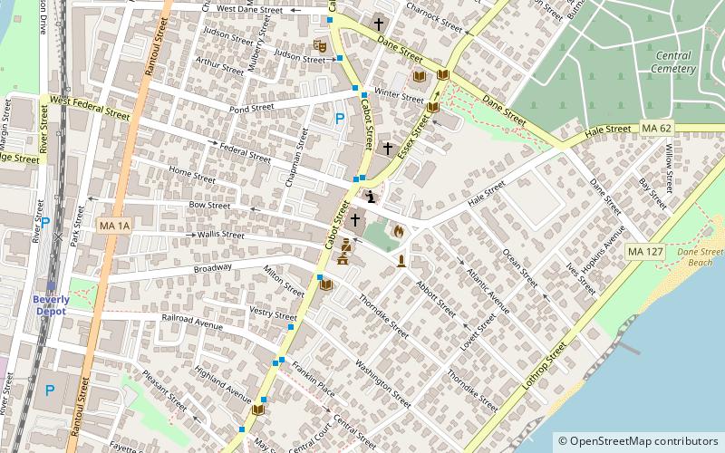
The Beverly Center Business District encompasses much of the historic 19th century commercial heart of Beverly, Massachusetts. Centered on Cabot and Church Streets between Central Street and the Beverly Common, its architecture reflects the city's growth over 150 years. The district was added to the National Register of Historic Places in 1984. ()
Coordinates: 42°32'54"N, 70°52'41"W
Address
BeverlyBeverly
ContactAdd
Social media
Add
Day trips
Beverly Center Business District – popular in the area (distance from the attraction)
Nearby attractions include: United Shoe Machinery Corporation Clubhouse, Salem Willows, Hospital Point Range Front Light, Fish Flake Hill Historic District.
Frequently Asked Questions (FAQ)
Which popular attractions are close to Beverly Center Business District?
Nearby attractions include Hospital Point Range Rear Light, Beverly (1 min walk), Larcom Theatre, Beverly (3 min walk), Beverly Historical Society, Beverly (3 min walk), Montserrat College of Art, Beverly (5 min walk).
How to get to Beverly Center Business District by public transport?
The nearest stations to Beverly Center Business District:
Train
Train
- Beverly Depot (10 min walk)
- Montserrat (27 min walk)


