Piquette Avenue Industrial Historic District, Detroit
Map
Gallery
Facts and practical information
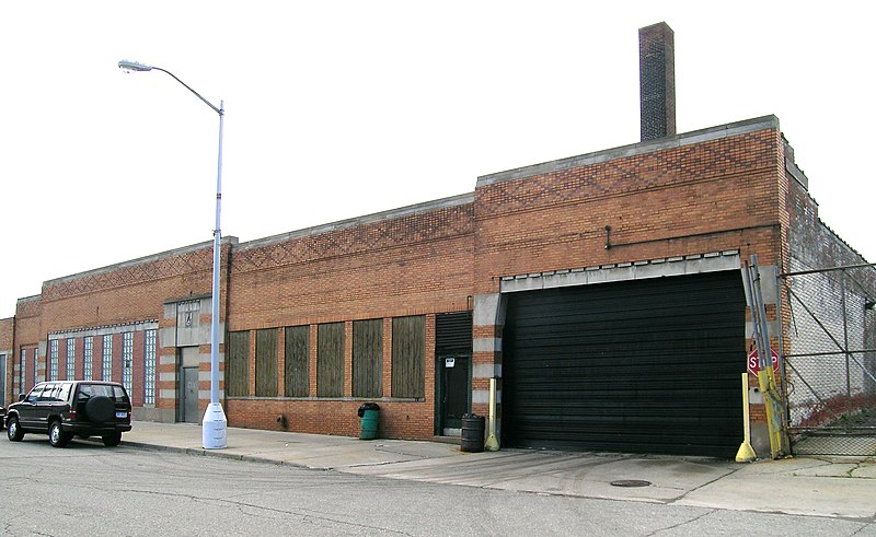
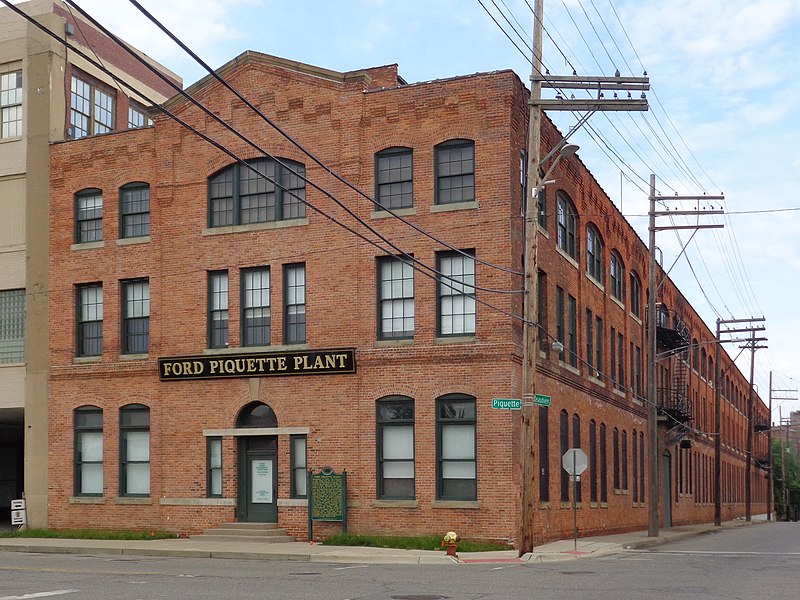
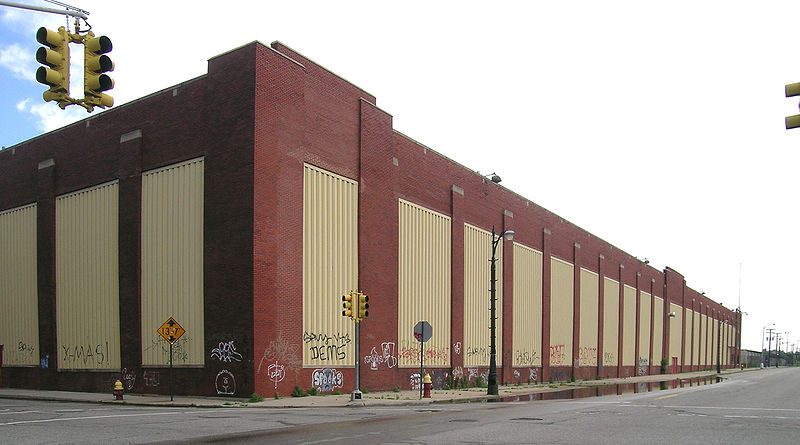
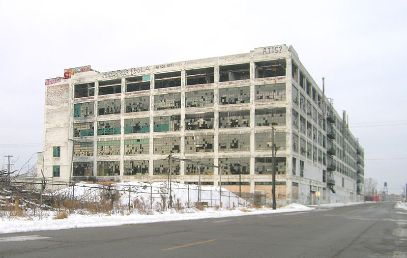
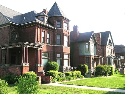
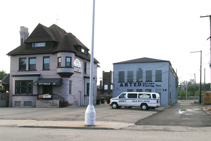
The Piquette Avenue Industrial Historic District is a historic district located along Piquette Street in Detroit, Michigan, from Woodward Avenue on the west to Hastings Street on the east. The district extends approximately one block south of Piquette to Harper, and one block north to the Grand Trunk Western Railroad Line. It was listed on the National Register of Historic Places in 2004. ()
Coordinates: 42°22'5"N, 83°3'57"W
Address
Cass Corridor (Medbury Park)Detroit
ContactAdd
Social media
Add
Day trips
Piquette Avenue Industrial Historic District – popular in the area (distance from the attraction)
Nearby attractions include: Detroit Institute of Arts, Ford Piquette Avenue Plant, Fisher Building, Charles H. Wright Museum of African American History.
Frequently Asked Questions (FAQ)
Which popular attractions are close to Piquette Avenue Industrial Historic District?
Nearby attractions include Ford Piquette Avenue Plant, Detroit (2 min walk), Our Lady of the Rosary Roman Catholic Church, Detroit (8 min walk), Milwaukee Junction, Detroit (10 min walk), New Center Commercial Historic District, Detroit (10 min walk).
How to get to Piquette Avenue Industrial Historic District by public transport?
The nearest stations to Piquette Avenue Industrial Historic District:
Bus
Tram
Train
Bus
- Woodward / Piquette • Lines: 04, 851 (7 min walk)
Tram
- Amsterdam Street • Lines: QLine (8 min walk)
- Baltimore Street • Lines: QLine (9 min walk)
Train
- Detroit (9 min walk)


