Sunnyslope, Salem
Map

Map

Facts and practical information
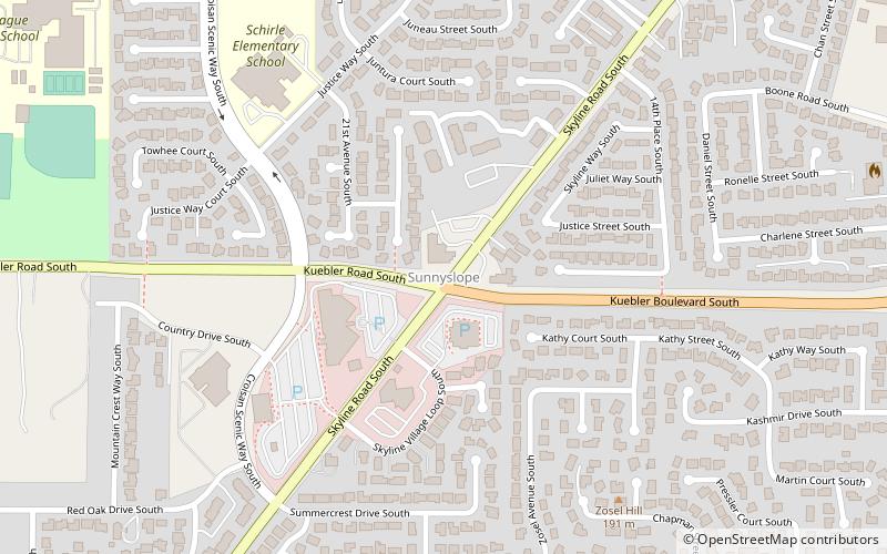
Sunnyslope is a primarily residential neighborhood in Salem, Oregon, United States located in the far southwest part of the city. The neighborhood is bordered on the north by Browning Avenue, and on the east with Liberty Road. Sunnyslope is home to Sprague High School. ()
Coordinates: 44°52'59"N, 123°4'13"W
Address
SunnyslopeSalem
ContactAdd
Social media
Add
Day trips
Sunnyslope – popular in the area (distance from the attraction)
Nearby attractions include: Bush's Pasture Park, Peter Courtney Minto Island Bridge, Elsinore Theatre, City View Cemetery.


