Dogwood Trace, Lexington
Map
Facts and practical information
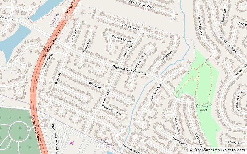
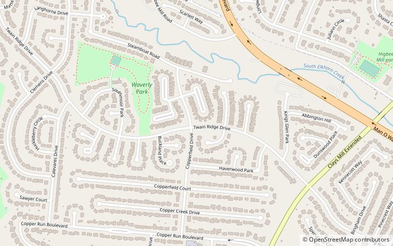
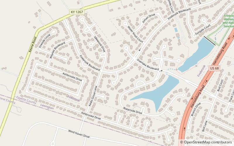
Dogwood Trace is a neighborhood in southwestern Lexington, Kentucky, United States. Its boundaries are South Elkhorn Creek to the north and east, Harrodsburg Road to the west, and the Jessamine County line to the south. ()
Coordinates: 37°59'17"N, 84°35'10"W
Address
Dogwood TraceLexington
ContactAdd
Social media
Add
Day trips

Frequently Asked Questions (FAQ)
Which popular attractions are close to Dogwood Trace?
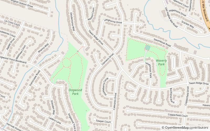
Nearby attractions include Clemens Heights, Lexington (12 min walk), Firebrook, Lexington (17 min walk), Wyndam Downs, Lexington (21 min walk), Copperfield, Lexington (21 min walk).