Santuit Historic District, Barnstable
Map

Map

Facts and practical information
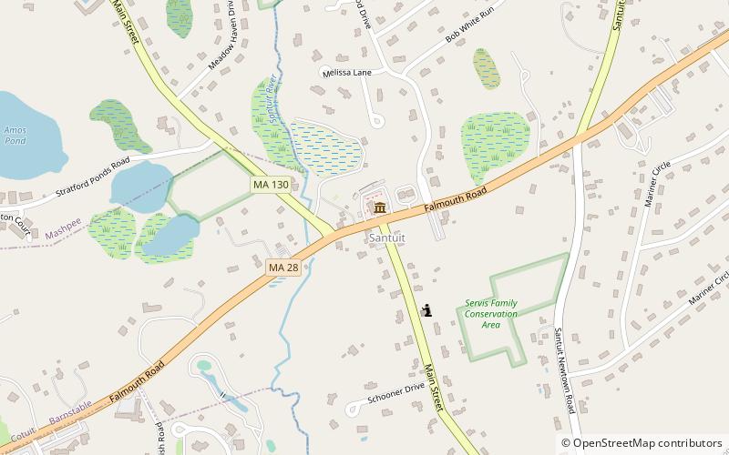
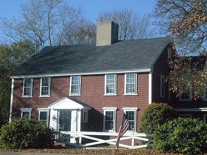
The Santuit Historic District encompasses a cluster of historic houses around the junction of Falmouth Road and Main Street in the Santuit village of Barnstable, Massachusetts. It includes eight houses, six of which are historically significant for their association with the Crocker family, who were the first settlers of the area in the 18th century. The district was listed on the National Register of Historic Places in 1987. ()
Coordinates: 41°38'16"N, 70°27'4"W
Address
Mid Cape (Marstons Mills)Barnstable
ContactAdd
Social media
Add
Day trips
Santuit Historic District – popular in the area (distance from the attraction)
Nearby attractions include: Cahoon Museum of American Art, Ebenezer Crocker Jr. House, Gideon Hawley House, Nelson Rhodehouse House.
Frequently Asked Questions (FAQ)
Which popular attractions are close to Santuit Historic District?
Nearby attractions include Cahoon Museum of American Art, Barnstable (1 min walk), Charles L. Baxter House, Barnstable (4 min walk), Gideon Hawley House, Barnstable (5 min walk), Nelson Rhodehouse House, Barnstable (8 min walk).


