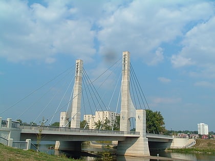
Indianola Forest Historic District, Columbus
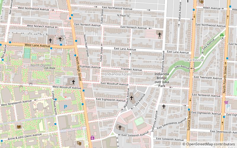
Map
Facts and practical information
Indianola Forest Historic District is a historic district in the University District of Columbus, Ohio. The district lies east of the Ohio State University. Architectural styles of the houses in the district include Craftsman, Tudor Revival, and Dutch Colonial Revival. ()
Coordinates: 40°0'16"N, 83°0'22"W
Address
University District (Indiana Forest)Columbus
ContactAdd
Social media
Add
Day trips
Indianola Forest Historic District – popular in the area (distance from the attraction)
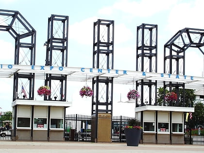
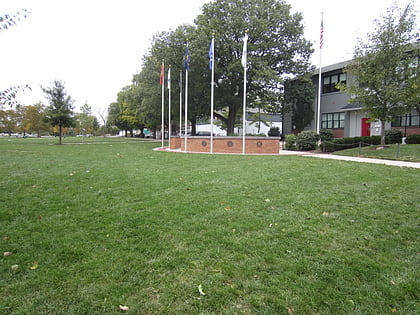
Nearby attractions include: Ohio Stadium, Taft Coliseum, Historic Crew Stadium, Remembrance Park.
Frequently Asked Questions (FAQ)
Which popular attractions are close to Indianola Forest Historic District?
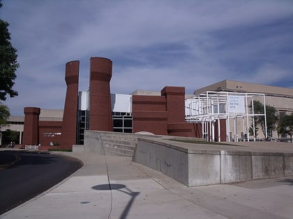
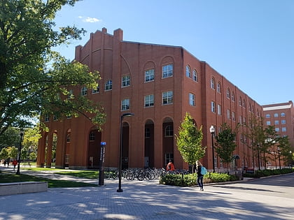
Nearby attractions include Billy Ireland Cartoon Library & Museum, Columbus (8 min walk), Iuka Ravine, Columbus (8 min walk), Wexner Center for the Arts, Columbus (9 min walk), Tom W. Davis Tower, Columbus (10 min walk).
How to get to Indianola Forest Historic District by public transport?
The nearest stations to Indianola Forest Historic District:
Bus
Bus
- N High St & W Woodruff Ave • Lines: 1, 102, 2 (4 min walk)
- N High St & E Lane Ave • Lines: 102, 2 (6 min walk)
