Woodward Heights, Lexington

Map
Facts and practical information
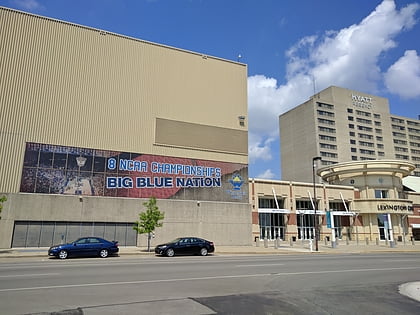
Woodward Heights is a neighborhood and historic district located immediately west of downtown Lexington, Kentucky. It is bounded by Maxwell Street and the Pleasant Green Hill neighborhood to the southwest, by the parking lot for Rupp Arena to the southeast, by the Lexington Convention Center property to the northeast, and by Herlihy, Cox, and High Streets to the north. ()
Coordinates: 38°2'59"N, 84°30'26"W
Address
Woodward HeightsLexington
ContactAdd
Social media
Add
Day trips
Woodward Heights – popular in the area (distance from the attraction)
Nearby attractions include: The Red Mile, Rupp Arena, Memorial Coliseum, Lexington History Center.
Frequently Asked Questions (FAQ)
Which popular attractions are close to Woodward Heights?
Nearby attractions include Davis Bottom, Lexington (4 min walk), Central Bank Center, Lexington (7 min walk), Rupp Arena, Lexington (7 min walk), Mary Todd Lincoln House, Lexington (7 min walk).
How to get to Woodward Heights by public transport?
The nearest stations to Woodward Heights:
Bus
Bus
- 1359 South Upper @ 200 Outbound • Lines: 16 Southland Dr, 5 Nicholasville Road (13 min walk)
- unknown - South Upper near Pine Outbound • Lines: 16 Southland Dr (13 min walk)


