Charles Street Workers' Housing Historic District, Waltham
Map
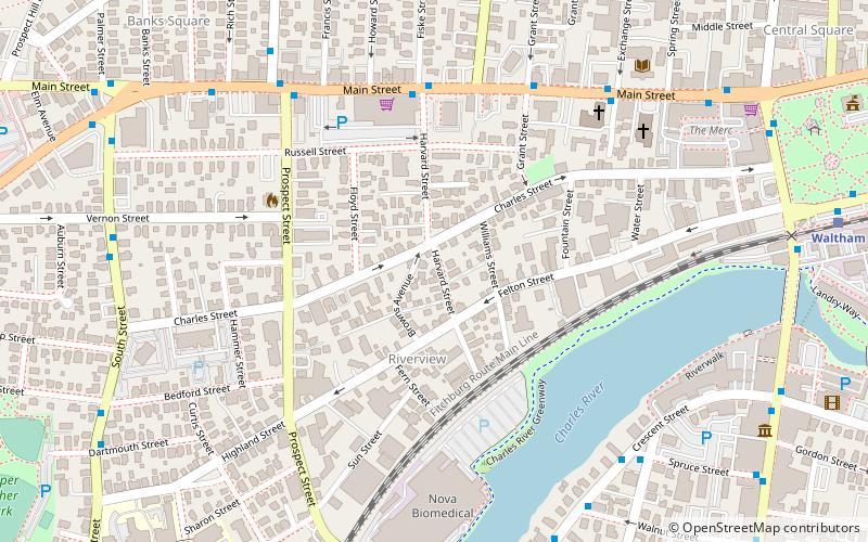
Map

Facts and practical information
The Charles Street Workers' Housing Historic District is a residential historic district at 128–144 Charles Street in Waltham, Massachusetts. It consists of four houses on a single city block, all of which are well-preserved vernacular worker houses built in 1865. They are representative of the city's growth of the period, and typify housing built for the city's laborers. The district was listed on the National Register of Historic Places in 1989. ()
Coordinates: 42°22'25"N, 71°14'37"W
Address
Waltham (Bank Square)Waltham
ContactAdd
Social media
Add
Day trips
Charles Street Workers' Housing Historic District – popular in the area (distance from the attraction)
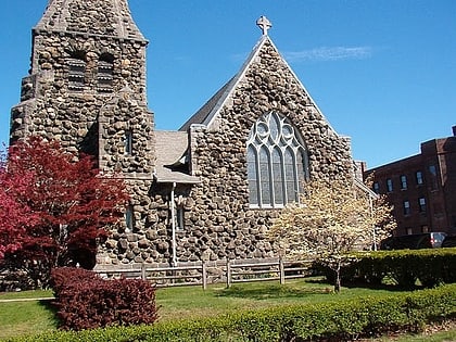
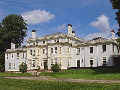
Nearby attractions include: Christ Episcopal Church, Lyman Estate, Trinity Church, Beth Eden Baptist Church.
Frequently Asked Questions (FAQ)
Which popular attractions are close to Charles Street Workers' Housing Historic District?
Nearby attractions include Christ Episcopal Church, Waltham (6 min walk), Trinity Church, Waltham (6 min walk), Francis Buttrick Library, Waltham (8 min walk), Moody Street Historic District, Waltham (9 min walk).
How to get to Charles Street Workers' Housing Historic District by public transport?
The nearest stations to Charles Street Workers' Housing Historic District:
Train
Train
- Waltham (11 min walk)
- Brandeis/Roberts (30 min walk)

