Monroe Center Historic District, Monroe
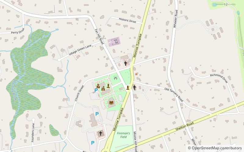
Map
Map

Facts and practical information
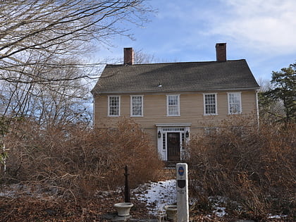
The Monroe Center Historic District is a 120-acre historic district in Monroe, Connecticut with significance dating to 1762. It was listed on the National Register of Historic Places in 1977. ()
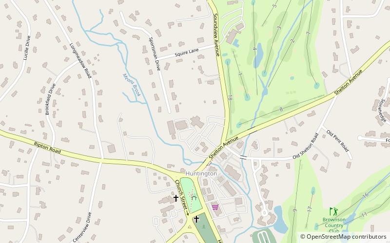
Coordinates: 41°19'57"N, 73°12'26"W
Address
Monroe
ContactAdd
Social media
Add
Day trips
Monroe Center Historic District – popular in the area (distance from the attraction)
Nearby attractions include: Great Hollow Lake, Webb Mountain Discovery Zone, Daniel Basset House, Osborne Homestead Museum.


