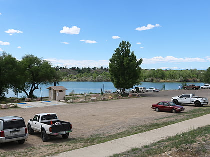
El Pueblo, Pueblo
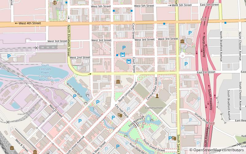
Map
Facts and practical information
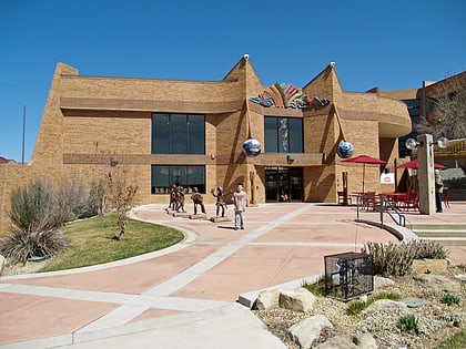
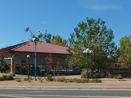
El Pueblo, also called Fort Pueblo, was a trading post and fort near the present-day city of Pueblo in Pueblo County, Colorado. It operated from 1842 until 1854, selling goods, livestock, and produce. It was attacked in 1854, killing up to 19 men and capturing three people. A recreation of the fort is located at the El Pueblo History Museum at the site of the original fort. ()
Coordinates: 38°16'4"N, 104°36'39"W
Address
Downtown PuebloPueblo
ContactAdd
Social media
Add
Day trips
El Pueblo – popular in the area (distance from the attraction)
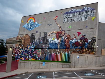
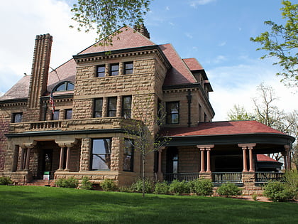
Nearby attractions include: Sangre de Cristo Arts Center, Rosemount Museum, Buell Children's Museum, Pueblo Plaza Ice Arena.
Frequently Asked Questions (FAQ)
Which popular attractions are close to El Pueblo?
Nearby attractions include El Pueblo History Museum, Pueblo (1 min walk), Pueblo Riverwalk, Pueblo (5 min walk), Veterans' Bridge, Pueblo (5 min walk), Center for American Values, Pueblo (6 min walk).
How to get to El Pueblo by public transport?
The nearest stations to El Pueblo:
Bus
Bus
- Pueblo Transit Center • Lines: 1, 3, CDOT Bustang Outrider (3 min walk)
- Court Street & W 5th Street • Lines: 1, 3 (7 min walk)
