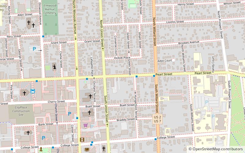
Pearl Street Historic District, Burlington
Map

Map

Facts and practical information
The Pearl Street Historic District of Burlington, Vermont encompasses part of the city's first major east-west transportation arteries, which developed from a fashionable residential area in the early 19th century to its present mixed use. It contains one of the city's highest concentrations of early Federal period architecture, as well as a number of fine Queen Anne and Colonial Revival houses. It was listed on the National Register of Historic Places in 1984. ()
Coordinates: 44°28'50"N, 73°12'29"W
Address
Downtown BurlingtonBurlington
ContactAdd
Social media
Add
Day trips
Pearl Street Historic District – popular in the area (distance from the attraction)
Nearby attractions include: Church Street Marketplace, Burlington Town Center, Ira Allen Chapel, Unitarian Church.
Frequently Asked Questions (FAQ)
Which popular attractions are close to Pearl Street Historic District?
Nearby attractions include Buell Street–Bradley Street Historic District, Burlington (3 min walk), Main Street–College Street Historic District, Burlington (4 min walk), First Methodist Church, Burlington (5 min walk), Unitarian Church, Burlington (7 min walk).
How to get to Pearl Street Historic District by public transport?
The nearest stations to Pearl Street Historic District:
Bus
Bus
- Downtown Transit Center (8 min walk)


