Carrigan Lane Historic District, Bennington
Map

Map

Facts and practical information
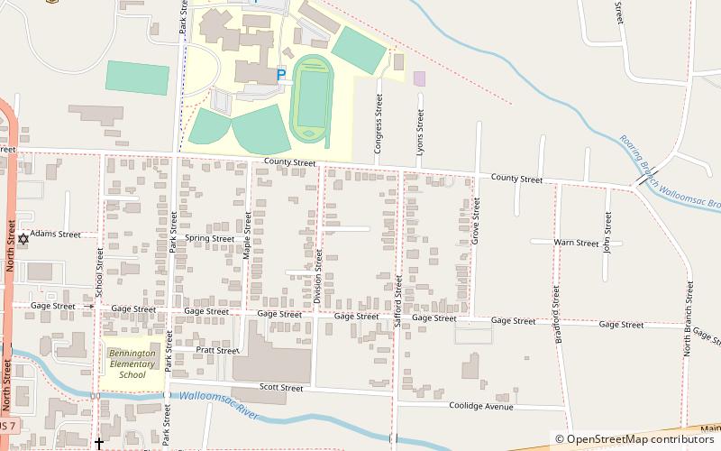
The Carrigan Lane Historic District encompasses four residential structures on or near Carrigan Lane in Bennington, Vermont. All were built between 1875 and 1900, a period of growth in the town, by Thomas Carrigan, a machinist, and are a good example of the town's development at that time. The district was listed on the National Register of Historic Places in 1998. ()
Coordinates: 42°52'59"N, 73°11'19"W
Address
Bennington
ContactAdd
Social media
Add
Day trips
Carrigan Lane Historic District – popular in the area (distance from the attraction)
Nearby attractions include: Bennington Museum, Old Bennington Post Office, Bennington Free Library, Julius and Sophia Norton House.
Frequently Asked Questions (FAQ)
Which popular attractions are close to Carrigan Lane Historic District?
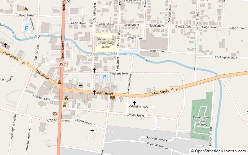
Nearby attractions include Julius and Sophia Norton House, Bennington (10 min walk), Bennington Free Library, Bennington (12 min walk), Old Bennington Post Office, Bennington (14 min walk), Holden–Leonard Workers Housing Historic District, Bennington (18 min walk).


