Uxbridge Common District, Uxbridge
Map
Facts and practical information
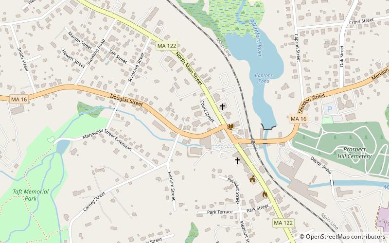
The Uxbridge Common District is located in downtown Uxbridge, Massachusetts. It is listed on the National Register of Historic Places. Historic buildings in this district include the Uxbridge Academy, Uxbridge Free Public Library, the Deborah A. Wheelock House, a blacksmith shop, the First Congregational Church, and the Unitarian Church. ()
Coordinates: 42°4'38"N, 71°37'53"W
Address
Uxbridge
ContactAdd
Social media
Add
Day trips
Uxbridge Common District – popular in the area (distance from the attraction)
Nearby attractions include: Uxbridge Town Hall, Stanley Woolen Mill, Uxbridge Free Public Library, Blackstone River and Canal Heritage State Park.


Frequently Asked Questions (FAQ)
Which popular attractions are close to Uxbridge Common District?
Nearby attractions include Uxbridge Free Public Library, Uxbridge (3 min walk), Uxbridge Town Hall, Uxbridge (5 min walk), A. Chapin House, Uxbridge (6 min walk), R. Farnum House, Uxbridge (9 min walk).