South Phoenix, Phoenix
Map
Facts and practical information
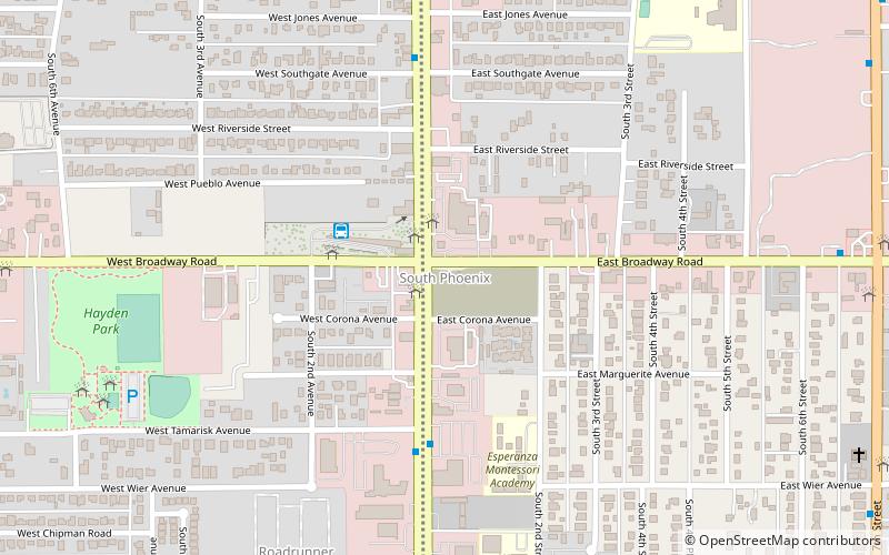
South Phoenix is a region of Phoenix, Arizona. By one definition it encompasses an area south of the Salt River, north of Roeser Road, east of 24th Street, and west of 32nd Street. ()
Coordinates: 33°24'23"N, 112°4'23"W
Address
South Phoenix (South Mountain)Phoenix
ContactAdd
Social media
Add
Getting there by public transportation
Public transportation stops near this location
- Bus
 Bus
Bus
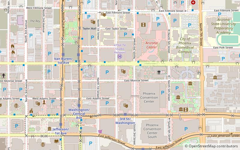
- Calculate routeEd Pastor Transit Center 4 min walk
Day trips


Frequently Asked Questions (FAQ)
How to get to South Phoenix by public transport?
The nearest stations to South Phoenix:
Bus
Bus
- Ed Pastor Transit Center (4 min walk)