Lexington Heights, Sierra Madre
Map
Facts and practical information
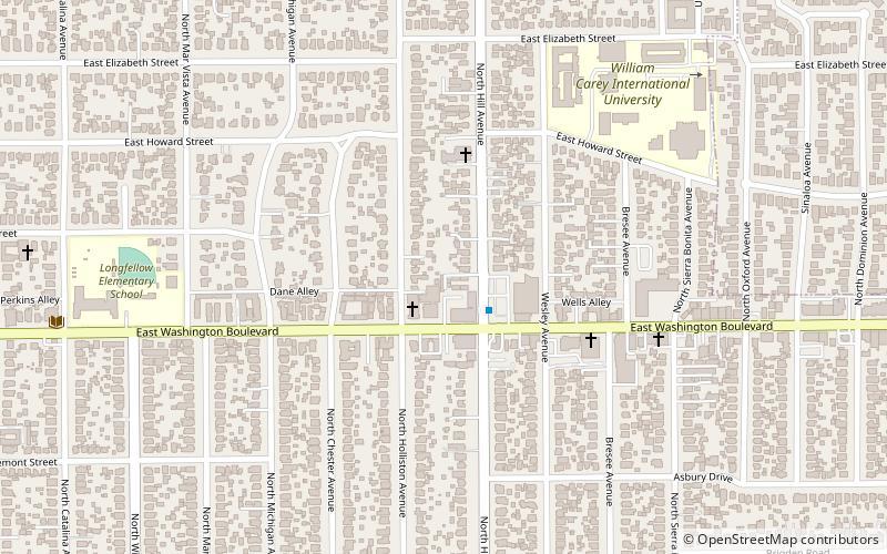
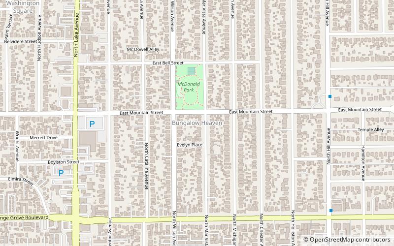
Lexington Heights is a neighborhood in Pasadena, California. It is bordered by Atchison Street to the north, Washington Boulevard to the south, Lake Avenue to the west, and Hill Avenue to the east. ()
Coordinates: 34°10'12"N, 118°7'20"W
Address
Historic HighlandsSierra Madre
ContactAdd
Social media
Add
Getting there by public transportation
Public transportation stops near this location
- Bus
 Bus
Bus
- Calculate routeMaple St & Allen Ave 33 min walk
Day trips


Frequently Asked Questions (FAQ)
Which popular attractions are close to Lexington Heights?
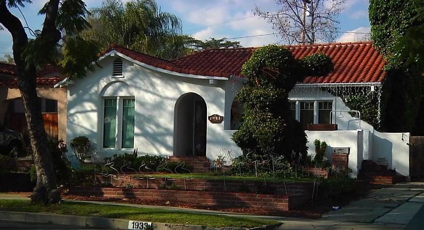
Nearby attractions include House at 1141 North Chester Avenue, Sierra Madre (8 min walk), Brigden Ranch, Sierra Madre (15 min walk), Normandie Heights, La Cañada Flintridge (15 min walk), The Bunny Museum, Los Angeles (17 min walk).
How to get to Lexington Heights by public transport?
The nearest stations to Lexington Heights:
Bus
Bus
- Maple St & Allen Ave • Lines: 10 (33 min walk)